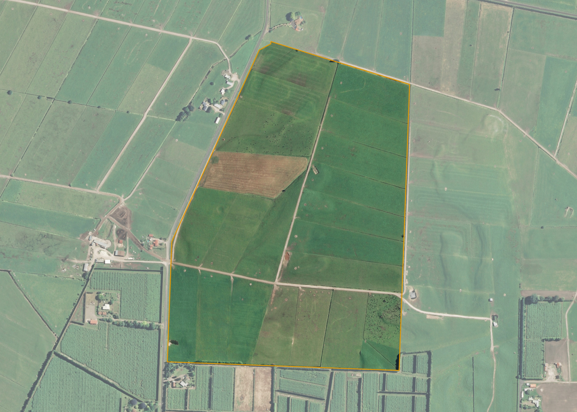
Pukaingataru B12
Pukaingataru B12 is a 48.48 hectare property located on Te Tumu Road, some 8km east of Te Puke and access is gained directly from Te Tumu Road.
The block is of good flat to easy contours ranging from swamp flats to the east and north of the block to easy undulating to the west and centre of the block.
Pukaingataru B12 is used for grazing purposes.
Land Information
- Land area:
- 48.4105 hectares
- Location:
- Te Tumu Road, Te Puke
- Region:
- Bay of Plenty
- Māori Land Court region:
- Waiariki
- Role of Māori Trustee for this whenua:
- Other
Learn more about the role of the Māori Trustee.
Owner Information
There are 1094 people or whānau trusts who have shares in Pukaingataru B12.
Find individual owners or whānau trusts for this whenua
Tip: Search by first name
If you have a question about this whenua or you want to update your details please contact us.
Find out about upcoming owner hui for this whenuaStay connected with My Whenua
My Whenua is our online service for owners, trustees, whānau and those with a connection to whenua we look after on their behalf.
It’s a way to stay up to date with information about your whenua, including:
- Maps and photos
- Owner reports
- A list of owners
- Minutes of owner hui, and more.