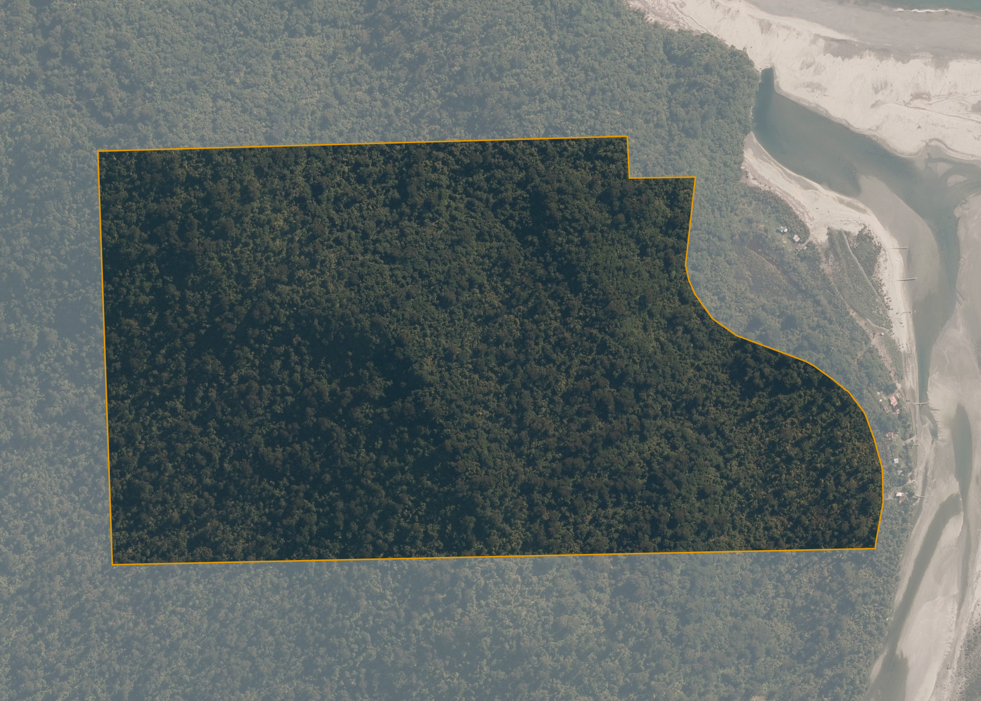
Paringa 729A
Paringa 729A is a 40.5621 hectare landlocked property up stream, on southern side of Paringa River Mouth, Paringa and closest road is Haast Highway.
Land Information
- Land area:
- 40.5621 hectares
- Location:
- Haast Highway, Paringa
- Region:
- West Coast
- Māori Land Court region:
- Te Waipounamu
- Role of Māori Trustee for this whenua:
- Statutory Trustee
Learn more about the role of the Māori Trustee.
Owner Information
There are 552 people or whānau trusts who have shares in Paringa 729A.
Find individual owners or whānau trusts for this whenua
Tip: Search by first name
If you have a question about this whenua or you want to update your details please contact us.
Find out about upcoming owner hui for this whenuaStay connected with My Whenua
My Whenua is our online service for owners, trustees, whānau and those with a connection to whenua we look after on their behalf.
It’s a way to stay up to date with information about your whenua, including:
- Maps and photos
- Owner reports
- A list of owners
- Minutes of owner hui, and more.