Te Araroa MT Sec 24A & 25 (Harakirereao B)
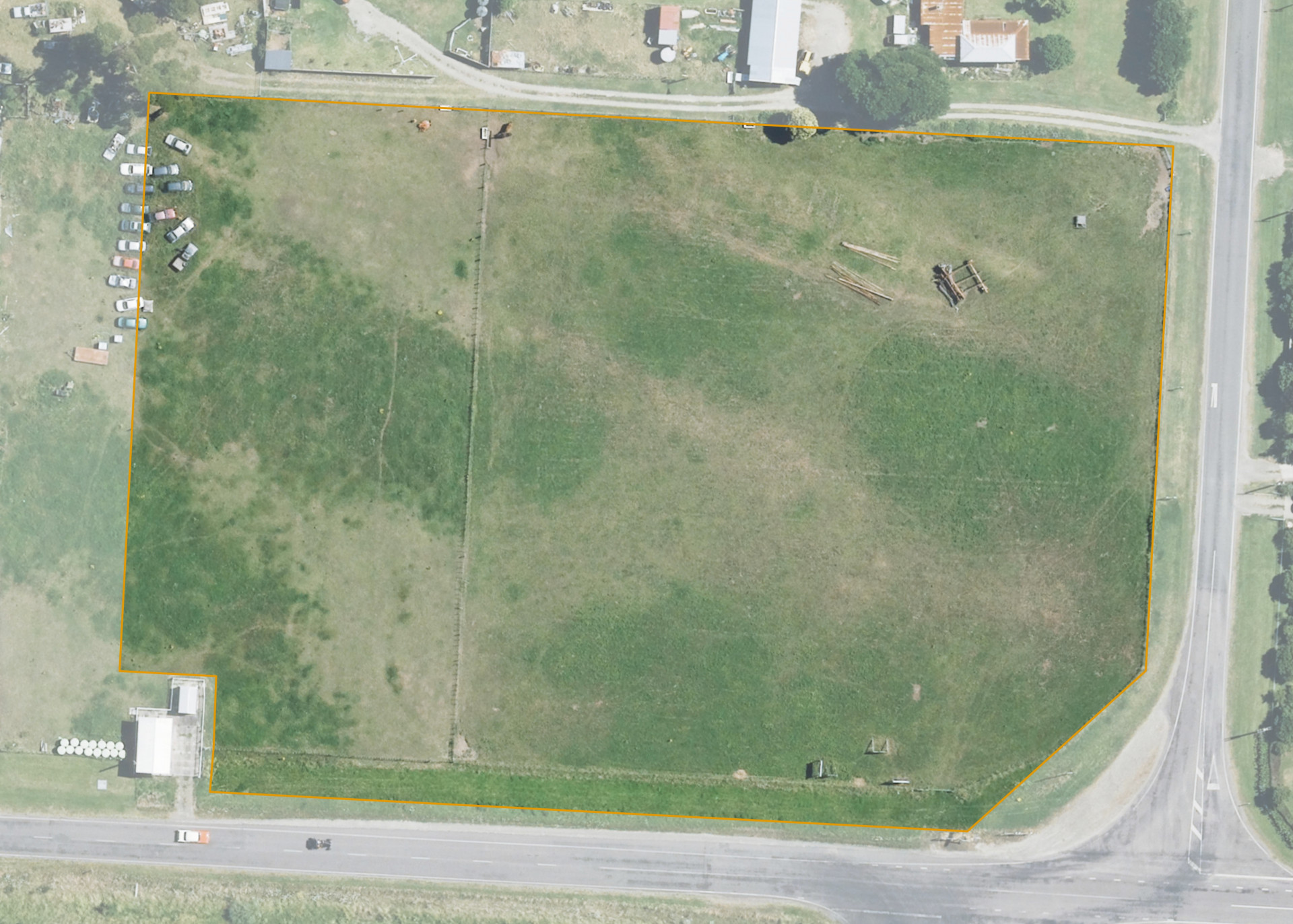
Te Araroa MT Sec 24A & 25 (Harakirereao B), is a 1.7125 hectare block situated on the northern side of Te Araroa Road (State Highway 35), approximately 1 kilometre west of the Te Araroa Township. The land is predominantly flat to slightly undulating in contour and comprises two sections.
Section 24A is subject to the Maori Reserved Land Amendment Act 1997 and is perpetually leased.
Section 25 is currently unoccupied but was previously utilised for grazing.
Land Information
- Land area:
- 1.7125 hectares
- Location:
- SH 35, Te Araroa
- Region:
- Gisborne
- Māori Land Court region:
- Tairawhiti
- Role of Māori Trustee for this whenua:
- Responsible Trustee
Learn more about the role of the Māori Trustee.
Owner Information
There are 77 people or whānau trusts who have shares in Te Araroa MT Sec 24A & 25 (Harakirereao B).
Find individual owners or whānau trusts for this whenua
Tip: Search by first name
If you have a question about this whenua or you want to update your details please contact us.
Find out about upcoming owner hui for this whenuaStay connected with My Whenua
My Whenua is our online service for owners, trustees, whānau and those with a connection to whenua we look after on their behalf.
It’s a way to stay up to date with information about your whenua, including:
- Maps and photos
- Owner reports
- A list of owners
- Minutes of owner hui, and more.