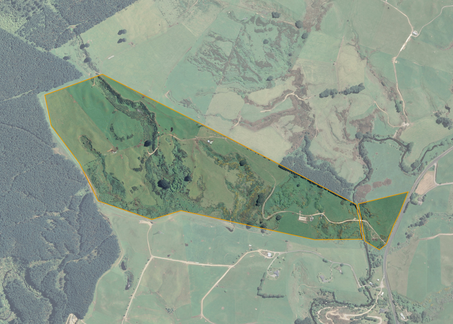
Horohoro 33
Horohoro 33 is a 54.744 hectare property situated on State Highway 30, Horohoro, and is approximately 21 kilometres south-west of Rotorua. The land is predominantly easy rolling in contour and is broken by shallow, steep-sided gullies and watercourses. The block has frontage to State Highway 30 with good bridge access across the Pokaitu Stream.
The block is currently utilised for dairy support.
There is a set of stock yards and a half-round hay barn on the property.
Land Information
- Land area:
- 54.744 hectares
- Location:
- SH 30, Horohoro
- Region:
- Bay of Plenty
- Māori Land Court region:
- Waiariki
- Role of Māori Trustee for this whenua:
- Responsible Trustee
Learn more about the role of the Māori Trustee.
Owner Information
There are 236 people or whānau trusts who have shares in Horohoro 33.
Find individual owners or whānau trusts for this whenua
Tip: Search by first name
If you have a question about this whenua or you want to update your details please contact us.
Find out about upcoming owner hui for this whenuaStay connected with My Whenua
My Whenua is our online service for owners, trustees, whānau and those with a connection to whenua we look after on their behalf.
It’s a way to stay up to date with information about your whenua, including:
- Maps and photos
- Owner reports
- A list of owners
- Minutes of owner hui, and more.