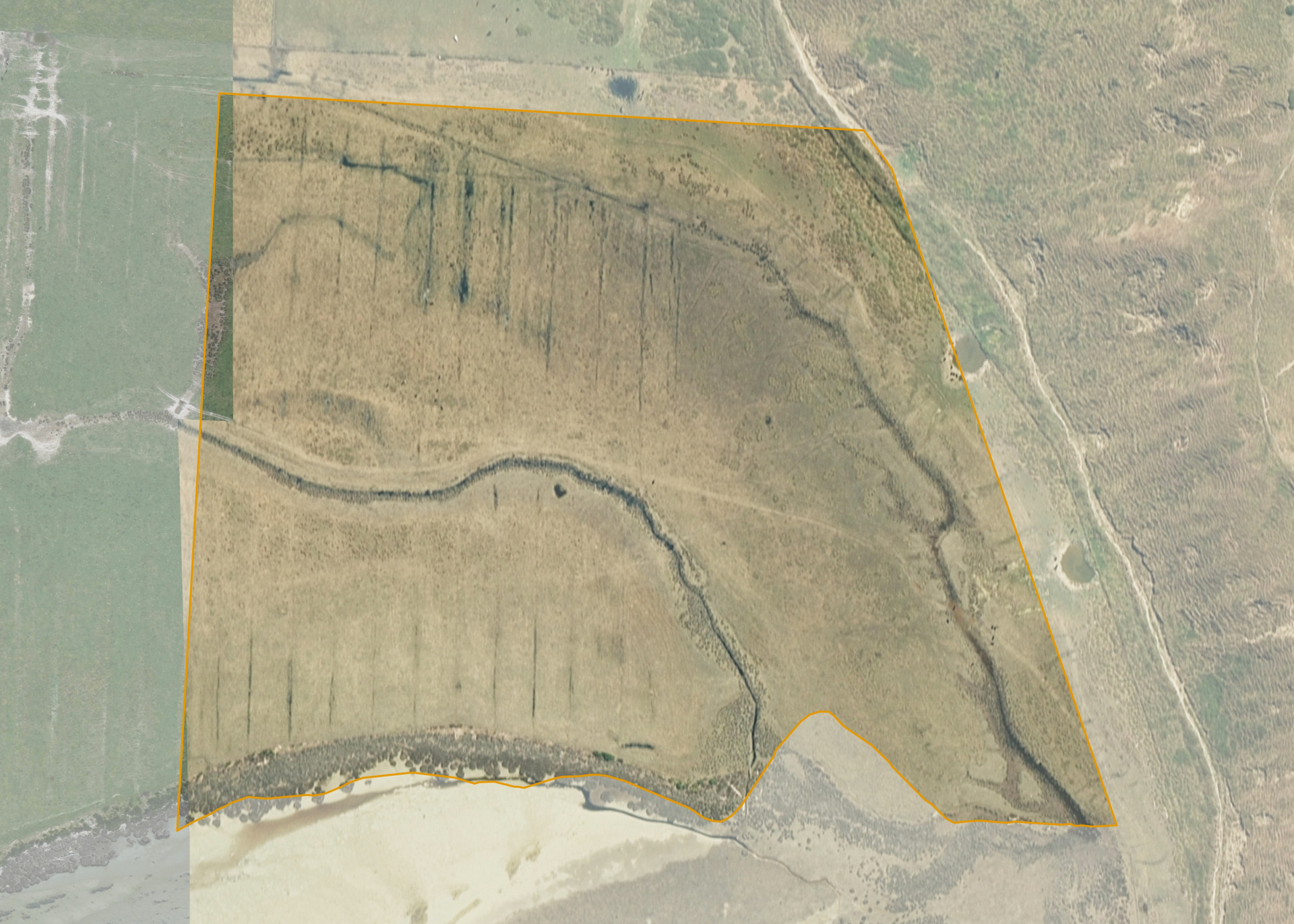
Ngamotu 10
Ngamotu 10 is a 12.0976 hectare property situated on the unformed Otane Roadway, some 1.1 kilometres east of Rauhina Road, and is approximately 7 kilometres south-east of Wairoa. The land is predominantly flat in contour and bounds the Ngamotu Lagoon on its southern boundary.
The block is currently utilised for cattle grazing in conjunction with adjoining land.
Land Information
- Land area:
- 12.0975 hectares
- Location:
- Otane Roadway, Wairoa
- Region:
- Hawkes Bay
- Māori Land Court region:
- Tairawhiti
- Role of Māori Trustee for this whenua:
- Responsible Trustee
Learn more about the role of the Māori Trustee.
Owner Information
There are 318 people or whānau trusts who have shares in Ngamotu 10.
Find individual owners or whānau trusts for this whenua
Tip: Search by first name
If you have a question about this whenua or you want to update your details please contact us.
Find out about upcoming owner hui for this whenuaStay connected with My Whenua
My Whenua is our online service for owners, trustees, whānau and those with a connection to whenua we look after on their behalf.
It’s a way to stay up to date with information about your whenua, including:
- Maps and photos
- Owner reports
- A list of owners
- Minutes of owner hui, and more.