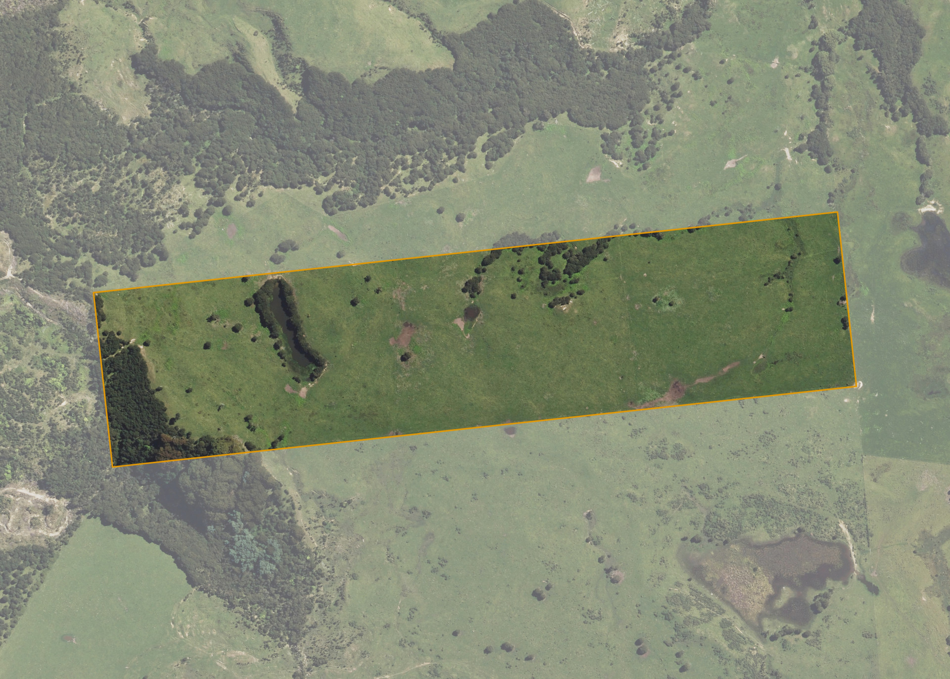
Rotokautuku A27B
Rotokautuku A27B is a 23.5881 hectare property situated between Tapuaeroa and Mangaoporo Roads, approximately 6.2 kilometres north-west of Ruatoria. The land is regular in shape and is predominantly easy undulating in contour. The block is landlocked but can be accessed via the lessee's adjoining land.
The effective area, approximately 21.9 hectares, is currently utilised as a bull beef production unit in conjunction with adjoining land.
Land Information
- Land area:
- 23.5881 hectares
- Location:
- Te Araroa Rd/State Highway 35, Ruatoria
- Region:
- Gisborne
- Māori Land Court region:
- Tairawhiti
- Role of Māori Trustee for this whenua:
- Responsible Trustee
Learn more about the role of the Māori Trustee.
Owner Information
There are 230 people or whānau trusts who have shares in Rotokautuku A27B.
Find individual owners or whānau trusts for this whenua
Tip: Search by first name
If you have a question about this whenua or you want to update your details please contact us.
Find out about upcoming owner hui for this whenuaStay connected with My Whenua
My Whenua is our online service for owners, trustees, whānau and those with a connection to whenua we look after on their behalf.
It’s a way to stay up to date with information about your whenua, including:
- Maps and photos
- Owner reports
- A list of owners
- Minutes of owner hui, and more.