
Rangitoto Tuhua 33C3B4B1D4 & 5B
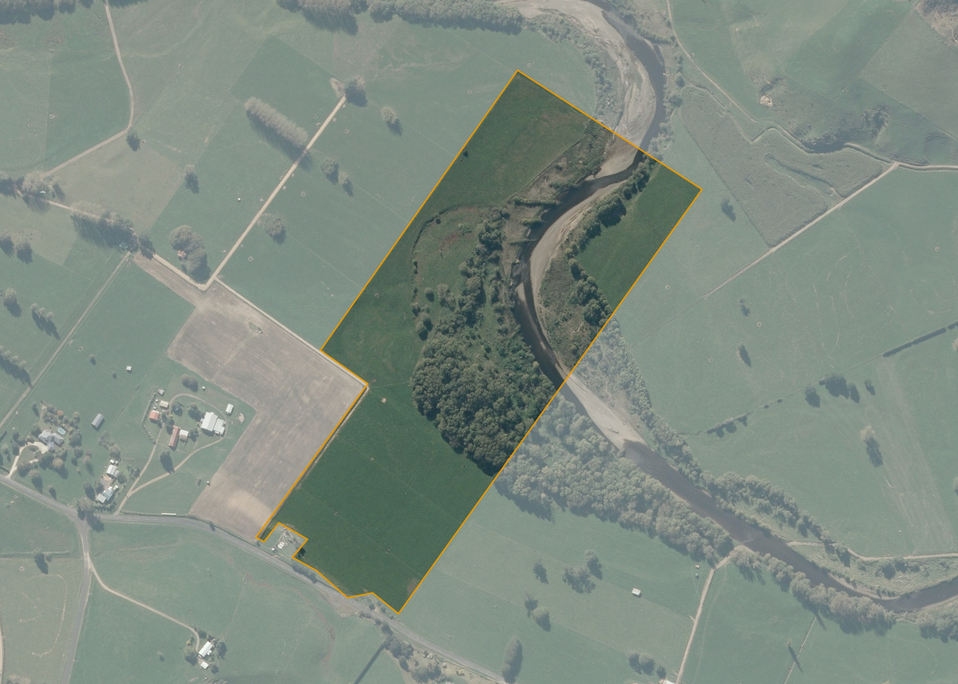
Rangitoto Tuhua 33C3B4B1D4 & 5B is a 15.8182 hectare property situated on Otewa Road, approximately 11 kilometres north-west of Otorohanga. The land is split into two severances by the Waipa River and is predominantly flat in contour. The larger severance can be accessed from Otewa Road. The smaller severance is landlocked but can be accessed through the lessees adjoining property.
The two severances are leased to separate tenants.
The large block, 14.31832 hectares of which 8 hectares, is currently run as part of the lessee. The balance of the land can be attributed to the Waipa River and its margins.
The small block, 1.5 hectares of which 1.2 hectares is currently utilised for dairying. The balance of the land can be attributed to the Waipa River and its margins.
Land Information
- Land area:
- 15.8182 hectares
- Location:
- Otewa Road, Otorohanga
- Region:
- Waikato
- Māori Land Court region:
- Waikato Maniapoto
- Role of Māori Trustee for this whenua:
- Responsible Trustee
Learn more about the role of the Māori Trustee.
Owner Information
There are 58 people or whānau trusts who have shares in Rangitoto Tuhua 33C3B4B1D4 & 5B.
Find individual owners or whānau trusts for this whenua
Tip: Search by first name
If you have a question about this whenua or you want to update your details please contact us.
Find out about upcoming owner hui for this whenuaStay connected with My Whenua
My Whenua is our online service for owners, trustees, whānau and those with a connection to whenua we look after on their behalf.
It’s a way to stay up to date with information about your whenua, including:
- Maps and photos
- Owner reports
- A list of owners
- Minutes of owner hui, and more.