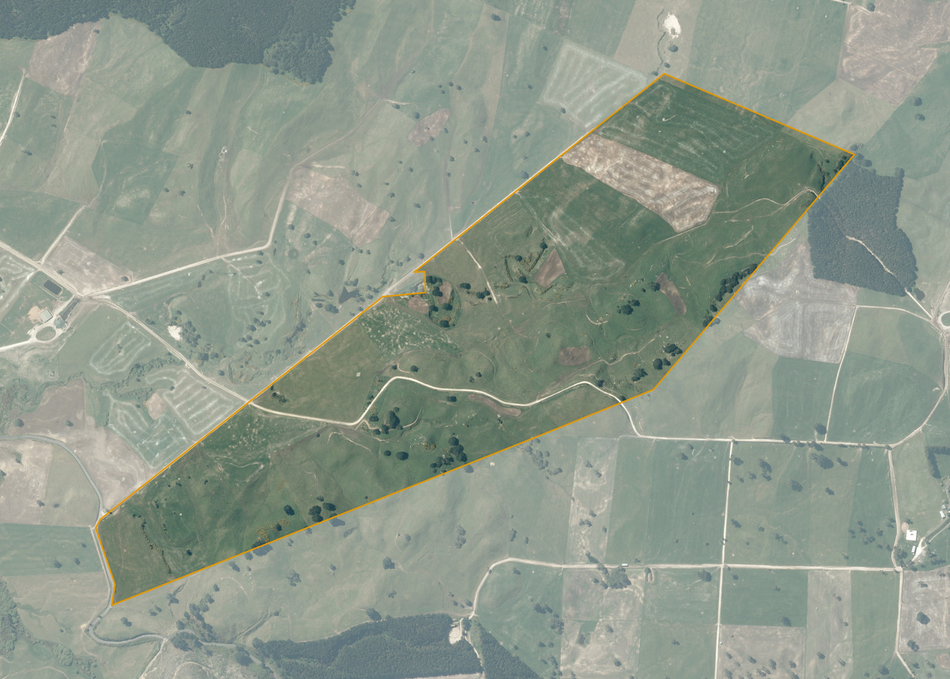
Tatua East 17
Tatua East 17 is a 131.3964 hectare property situated on Forest Road, Oruanui, and is approximately 20 kilometres south of Taupo. The land is mixed in contour ranging from flat to steep hill. The block can be accessed from Forest Road.
The effective area, approximately 130 hectares, is currently utilised as a milking platform in conjunction with the lessee's large scale dairy operation. The balance of the land can be attributed to rock faces, outcrops and gully/wetland areas.
Land Information
- Land area:
- 131.3964 hectares
- Location:
- Forest Road, Oruanui
- Region:
- Bay of Plenty
- Māori Land Court region:
- Waiariki
- Role of Māori Trustee for this whenua:
- Responsible Trustee
Learn more about the role of the Māori Trustee.
Owner Information
There are 249 people or whānau trusts who have shares in Tatua East 17.
Find individual owners or whānau trusts for this whenua
Tip: Search by first name
If you have a question about this whenua or you want to update your details please contact us.
Find out about upcoming owner hui for this whenuaStay connected with My Whenua
My Whenua is our online service for owners, trustees, whānau and those with a connection to whenua we look after on their behalf.
It’s a way to stay up to date with information about your whenua, including:
- Maps and photos
- Owner reports
- A list of owners
- Minutes of owner hui, and more.