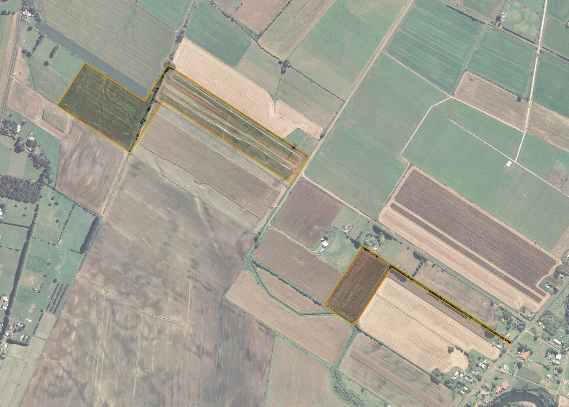
Matata Parish 72B 3B 7B 3
Matata Parish 72B 3B 7B 3 is a 22 hectare property situated on Okaahu Road, some 2km from Te Teko and is split into a front and rear portion. Access to the front portion of the block is through Okaahu Road however the rear portion is landlocked and can only be accessed by way of adjoining land that has a frontage onto Grieve Road.
The front portion is flat to slightly undulating and the rear portion falls gently away to the adjoining boundary drain.
Matata Parish 72B 3B 7B 3 is utilised for cropping.
Land Information
- Land area:
- 23.089 hectares
- Location:
- Okaahu Road, Te Teko
- Region:
- Bay of Plenty
- Māori Land Court region:
- Waiariki
- Role of Māori Trustee for this whenua:
- Agent
Learn more about the role of the Māori Trustee.
Owner Information
There are 166 people or whānau trusts who have shares in Matata Parish 72B 3B 7B 3.
Find individual owners or whānau trusts for this whenua
Tip: Search by first name
If you have a question about this whenua or you want to update your details please contact us.
Find out about upcoming owner hui for this whenuaStay connected with My Whenua
My Whenua is our online service for owners, trustees, whānau and those with a connection to whenua we look after on their behalf.
It’s a way to stay up to date with information about your whenua, including:
- Maps and photos
- Owner reports
- A list of owners
- Minutes of owner hui, and more.