Reporua A2A
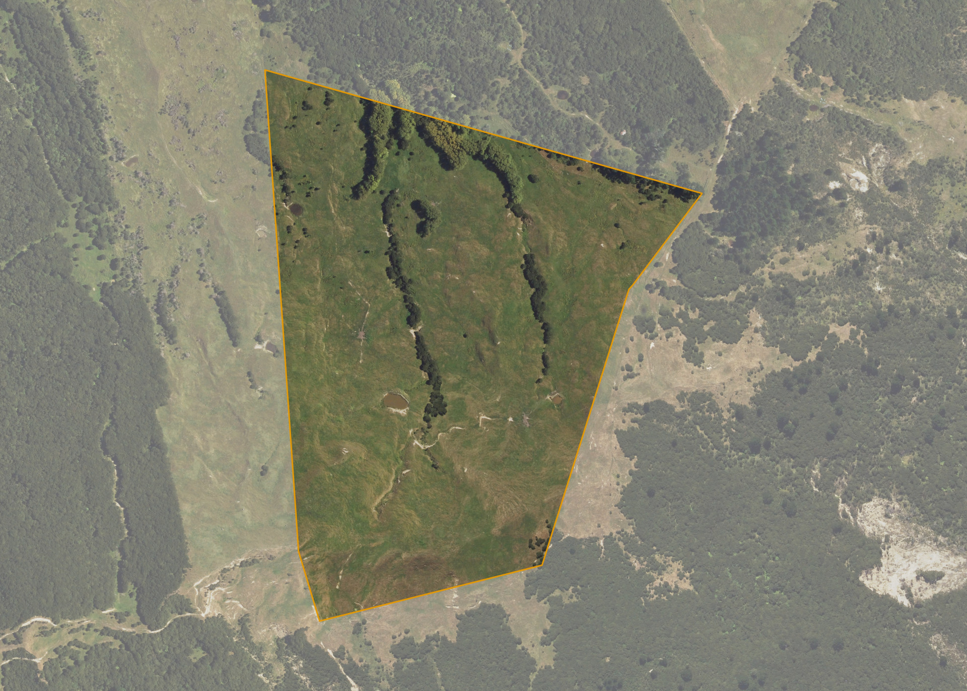
Reporua A2A is a 35.4099 hectare property situated between Reporua Road and Tuparoa Road, approximately 6 kilometres east of Ruatoria. The land is predominantly easy to medium hill in contour. Legal access to the property is via a 1.5 kilometre clay-track from off Reporua Road.
The block is currently utilised for grazing purposes.
Land Information
- Land area:
- 35.4099 hectares
- Location:
- Reporua Rd, Ruatoria
- Region:
- Gisborne
- Māori Land Court region:
- Tairawhiti
- Role of Māori Trustee for this whenua:
- Responsible Trustee
Learn more about the role of the Māori Trustee.
Owner Information
There are 7 people or whānau trusts who have shares in Reporua A2A.
Find individual owners or whānau trusts for this whenua
Tip: Search by first name
If you have a question about this whenua or you want to update your details please contact us.
Find out about upcoming owner hui for this whenuaStay connected with My Whenua
My Whenua is our online service for owners, trustees, whānau and those with a connection to whenua we look after on their behalf.
It’s a way to stay up to date with information about your whenua, including:
- Maps and photos
- Owner reports
- A list of owners
- Minutes of owner hui, and more.