Whangaipeke 7B2
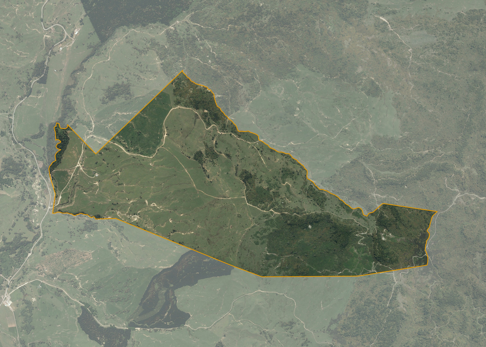
Whangaipeke 7B2 is a 335.1657 hectare property situated on Hohotaka Road, approximately 30 kilometres from Taumarunui. The land is predominantly easy to medium hill in contour with some steeper land to the rear of the property. The block can be accessed from Hohotaka Road.
The effective area, approximately 220 hectares, is currently utilised for sheep and beef grazing. The balance of the land can be attributed to bush.
There is a dwelling, implement shed, hunters hut, cattle yards and a small set of sheep yards on the property.
Land Information
- Land area:
- 335.1657 hectares
- Location:
- Hohotaka Road, Taumarunui
- Region:
- Manawatu / Whanganui
- Māori Land Court region:
- Aotea
- Role of Māori Trustee for this whenua:
- Responsible Trustee
Learn more about the role of the Māori Trustee.
Owner Information
There are 2366 people or whānau trusts who have shares in Whangaipeke 7B2.
Find individual owners or whānau trusts for this whenua
Tip: Search by first name
If you have a question about this whenua or you want to update your details please contact us.
Find out about upcoming owner hui for this whenuaStay connected with My Whenua
My Whenua is our online service for owners, trustees, whānau and those with a connection to whenua we look after on their behalf.
It’s a way to stay up to date with information about your whenua, including:
- Maps and photos
- Owner reports
- A list of owners
- Minutes of owner hui, and more.