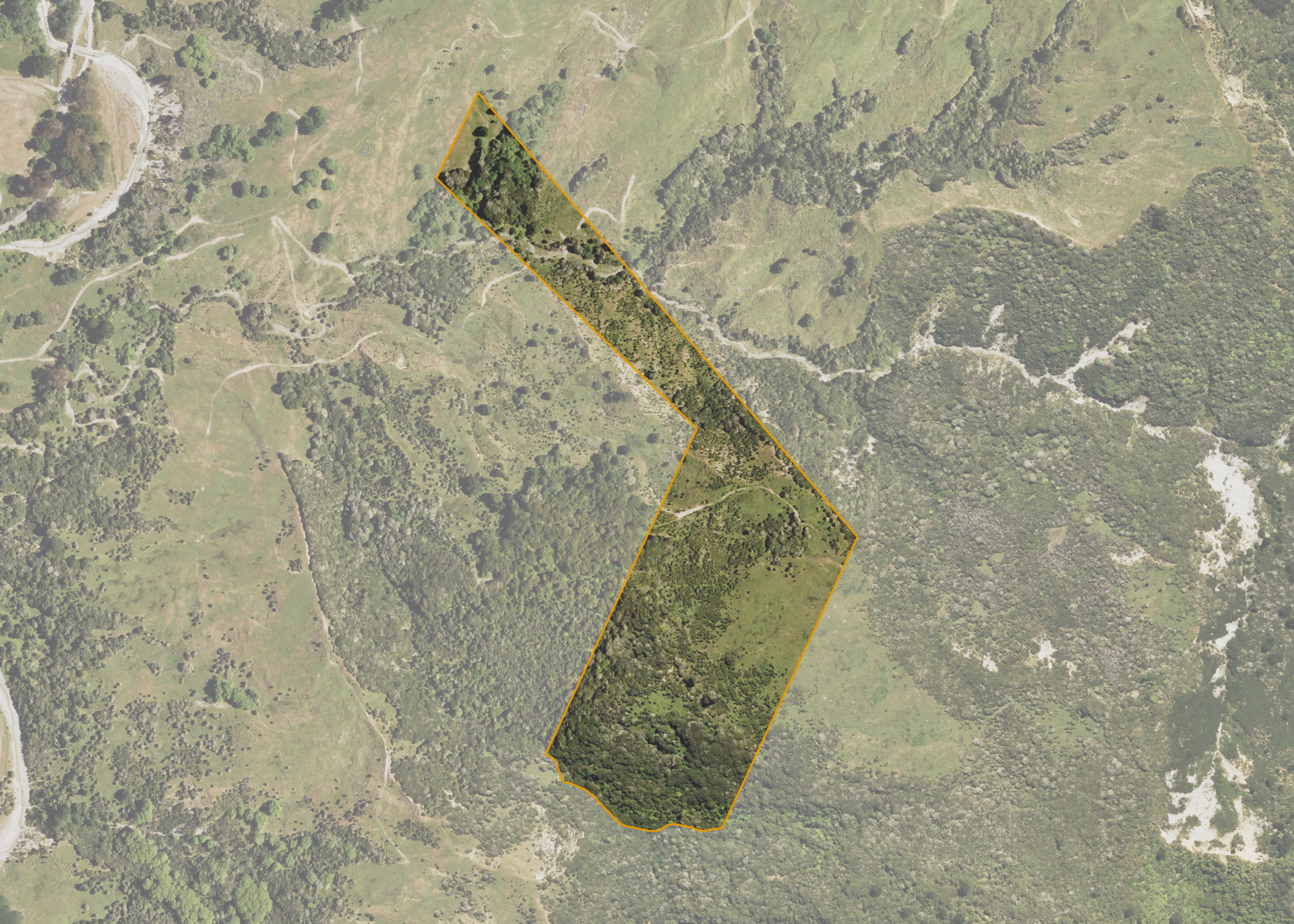
Tawhiti 1E1B1
Tawhiti 1E1B1 is a 15.63 hectare property situated on State Highway 35, Tokomaru Bay some 4km south of Te Puia Springs. The block is remote with no legal access from Waiapu Road. The block is situated between 160 - 440 metres above sea level and is predominantly medium to steep in contour.
Tawhiti 1E1B1 is utilised for pastoral grazing of mixed stock in conjunction with the adjoining blocks.
Parts of the block are regenerated Manuka and Kanuka cover.
Land Information
- Land area:
- 15.631 hectares
- Location:
- State Highway 35, Tokomaru Bay
- Region:
- Gisborne
- Māori Land Court region:
- Tairawhiti
- Role of Māori Trustee for this whenua:
- Responsible Trustee
Learn more about the role of the Māori Trustee.
Owner Information
There are 95 people or whānau trusts who have shares in Tawhiti 1E1B1.
Find individual owners or whānau trusts for this whenua
Tip: Search by first name
If you have a question about this whenua or you want to update your details please contact us.
Find out about upcoming owner hui for this whenuaStay connected with My Whenua
My Whenua is our online service for owners, trustees, whānau and those with a connection to whenua we look after on their behalf.
It’s a way to stay up to date with information about your whenua, including:
- Maps and photos
- Owner reports
- A list of owners
- Minutes of owner hui, and more.