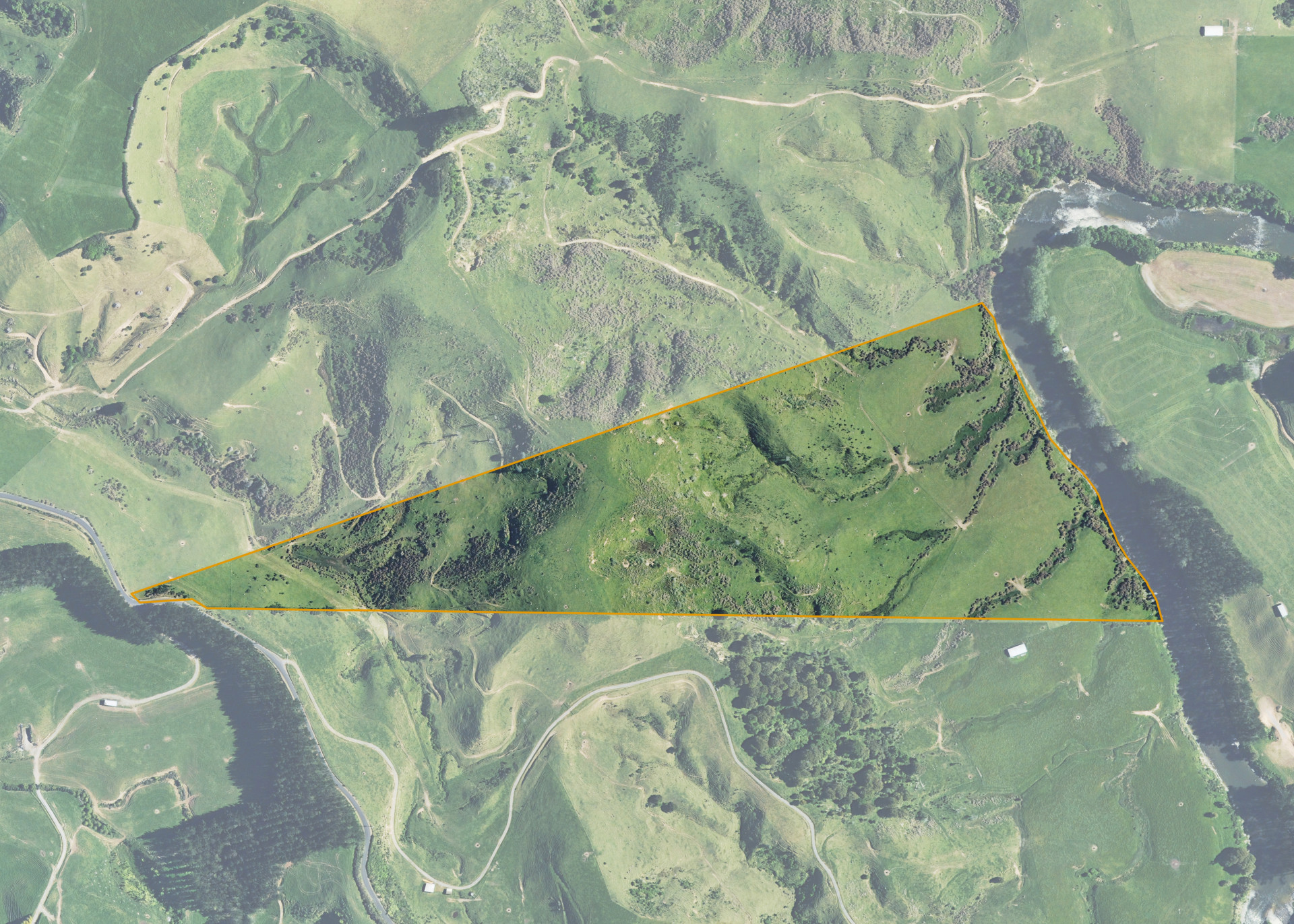
Rimutauteka 4D
Rimutauteka 4D is a 22.6624 hectare property situated on Rimutauteka Road, approximately 12 kilometres north-east of Inglewood. The land is medium to steep hill country running to flat/easy rolling bounding the Waitara River. The block bounds Rimutauteka Road, however the property is accessed via the lessee's adjoining land.
The property is leased along with three other blocks. Combined these properties total 84.2708 hectares and are currently utilised for livestock grazing (dairy stock and sheep).
Land Information
- Land area:
- 22.6624 hectares
- Location:
- Rimutauteka Road, Inglewood
- Region:
- Taranaki
- Māori Land Court region:
- Aotea
- Role of Māori Trustee for this whenua:
- Responsible Trustee
Learn more about the role of the Māori Trustee.
Owner Information
There are 81 people or whānau trusts who have shares in Rimutauteka 4D.
Find individual owners or whānau trusts for this whenua
Tip: Search by first name
If you have a question about this whenua or you want to update your details please contact us.
Find out about upcoming owner hui for this whenuaStay connected with My Whenua
My Whenua is our online service for owners, trustees, whānau and those with a connection to whenua we look after on their behalf.
It’s a way to stay up to date with information about your whenua, including:
- Maps and photos
- Owner reports
- A list of owners
- Minutes of owner hui, and more.