Rowallan Block XII Section 1
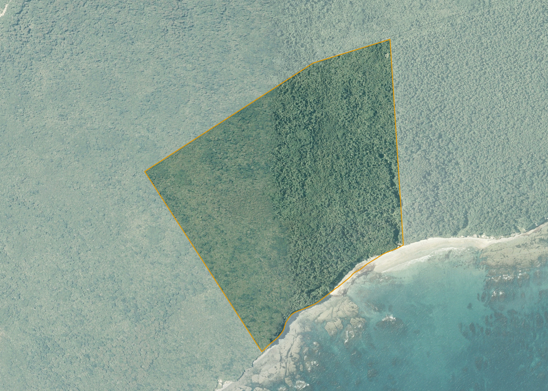
Rowallan Block XII Section 1 is an 84.984 hectare property situated approximately 36 kilometres south-west of Tuatapere, Western Southland. The land bounds the south coast on its southern boundary.
The land is surrounded by cutover native bush and forest plantations.
Land Information
- Land area:
- 84.984 hectares
- Location:
- Tuatapere, Western Southland
- Region:
- Southland
- Māori Land Court region:
- Te Waipounamu
- Role of Māori Trustee for this whenua:
- Responsible Trustee
Learn more about the role of the Māori Trustee.
Owner Information
There are 51 people or whānau trusts who have shares in Rowallan Block XII Section 1.
Find individual owners or whānau trusts for this whenua
Tip: Search by first name
If you have a question about this whenua or you want to update your details please contact us.
Find out about upcoming owner hui for this whenuaStay connected with My Whenua
My Whenua is our online service for owners, trustees, whānau and those with a connection to whenua we look after on their behalf.
It’s a way to stay up to date with information about your whenua, including:
- Maps and photos
- Owner reports
- A list of owners
- Minutes of owner hui, and more.