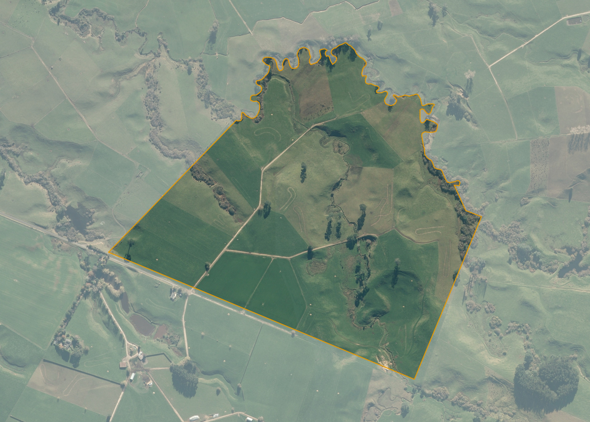
Whaiti Kuranui 5C3E
Whaiti Kuranui 5C3E is a 54.5 hectare property situated on the northern side of Papatangi Road, Te Poi some 15km south west of Tirau and 16km north of Matamata accessed off Papatangai Road.
The block is generally of an undulating contour and there are areas of easy to medium hill on either side of the stream that passes through the property and in the southern corner. The Kakahu Stream forms the northern boundary.
Whaiti Kuranui 5C3E is used for dairy purposes.
Land Information
- Land area:
- 55.1384 hectares
- Location:
- Papatangai Road, Te Poi
- Region:
- Waikato
- Māori Land Court region:
- Waiariki
- Role of Māori Trustee for this whenua:
- Custodian Trustee
Learn more about the role of the Māori Trustee.
Owner Information
There are 309 people or whānau trusts who have shares in Whaiti Kuranui 5C3E.
Find individual owners or whānau trusts for this whenua
Tip: Search by first name
If you have a question about this whenua or you want to update your details please contact us.
Find out about upcoming owner hui for this whenuaStay connected with My Whenua
My Whenua is our online service for owners, trustees, whānau and those with a connection to whenua we look after on their behalf.
It’s a way to stay up to date with information about your whenua, including:
- Maps and photos
- Owner reports
- A list of owners
- Minutes of owner hui, and more.