Awarua 3B 2C 3B
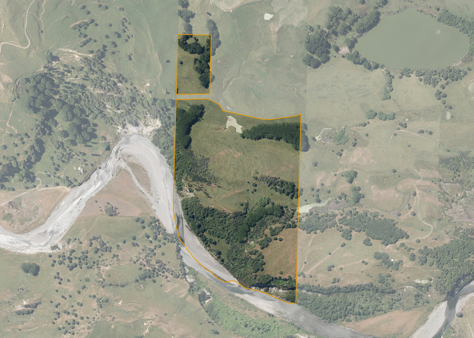
Awarua 3B 2C 3B is a 35.0635 hectare property situated on Old Tae Tae Road, Utiku and is approximately 15 kilometres south-east of Taihape. The land is flat to moderately steep in contour. The block can be accessed from adjoining land.
The effective area, approximately 23.04 hectares, is currently utilised for dry stock farming. The balance of the land can be attributed to parts of the river, regenerating bush, Manuka, dams and wetlands.
Land Information
- Land area:
- 35.0635 hectares
- Location:
- Tuhoe Road, Taihape
- Region:
- Manawatu / Whanganui
- Māori Land Court region:
- Aotea
- Role of Māori Trustee for this whenua:
- Responsible Trustee
Learn more about the role of the Māori Trustee.
Owner Information
There are 47 people or whānau trusts who have shares in Awarua 3B 2C 3B.
Find individual owners or whānau trusts for this whenua
Tip: Search by first name
If you have a question about this whenua or you want to update your details please contact us.
Find out about upcoming owner hui for this whenuaStay connected with My Whenua
My Whenua is our online service for owners, trustees, whānau and those with a connection to whenua we look after on their behalf.
It’s a way to stay up to date with information about your whenua, including:
- Maps and photos
- Owner reports
- A list of owners
- Minutes of owner hui, and more.