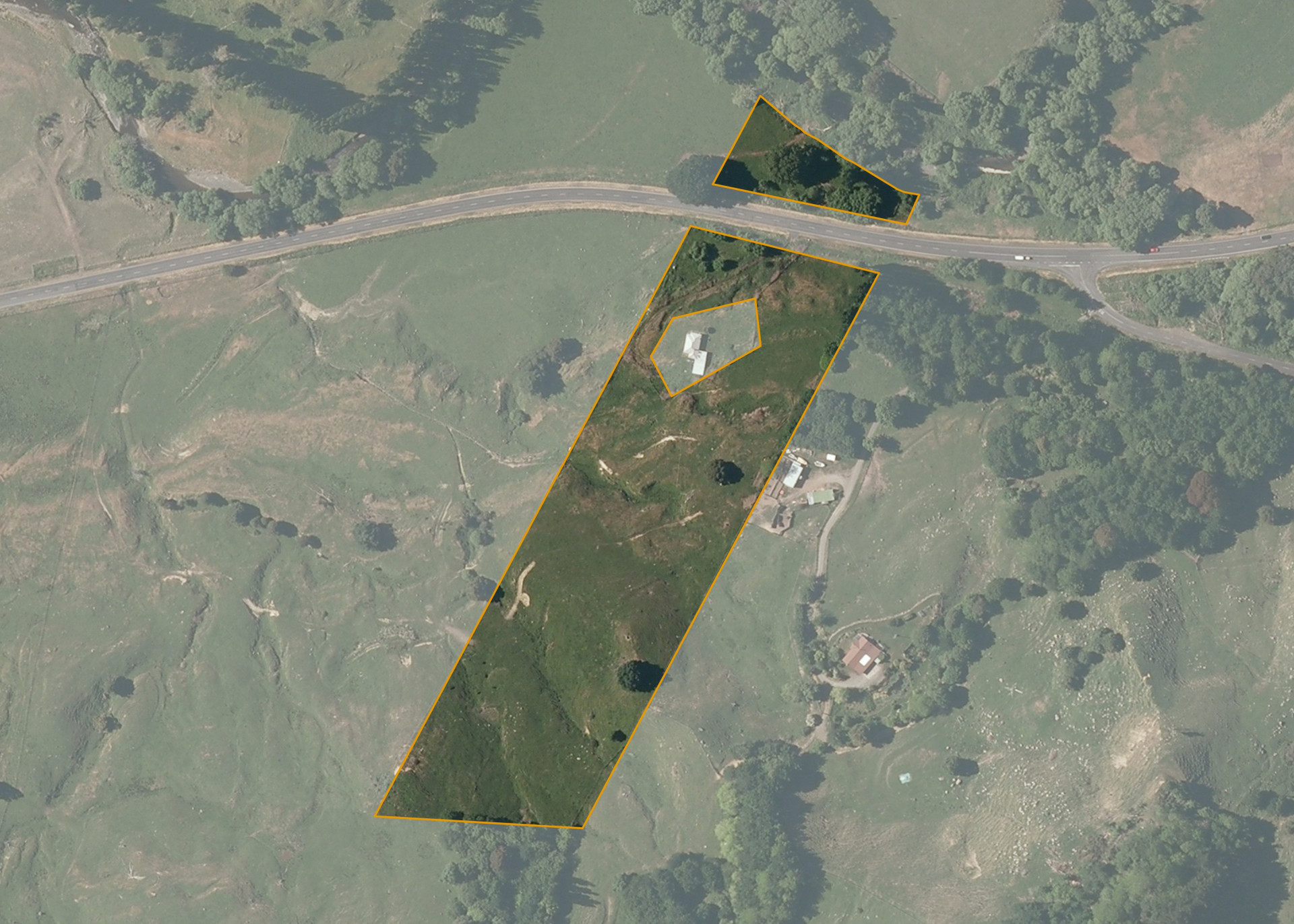
Ohura South C1 Sec 2B1B
Ohura South C1 Sec 2B1B is a 3.8398 hectare property situated on SHWY 41 (Taumarunui-Turangi Highway), approximately 12 kilometres east of Taumarunui. The property is predominantly easy hill in contour. Soils on the property comprise of Mapara sandy silt, silt loam and clay loam hill soil. The block can be accessed from SHWY 41.
The property is leased together with the neighbouring block: Ohura South C1 Sec 2B2. Combined the blocks are 14.0096 hectares and are currently utilised for sheep and cattle grazing.
Land Information
- Land area:
- 3.8398 hectares
- Location:
- State Highway 41, Manunui
- Region:
- Manawatu / Whanganui
- Māori Land Court region:
- Aotea
- Role of Māori Trustee for this whenua:
- Responsible Trustee
Learn more about the role of the Māori Trustee.
Owner Information
There are 97 people or whānau trusts who have shares in Ohura South C1 Sec 2B1B.
Find individual owners or whānau trusts for this whenua
Tip: Search by first name
If you have a question about this whenua or you want to update your details please contact us.
Find out about upcoming owner hui for this whenuaStay connected with My Whenua
My Whenua is our online service for owners, trustees, whānau and those with a connection to whenua we look after on their behalf.
It’s a way to stay up to date with information about your whenua, including:
- Maps and photos
- Owner reports
- A list of owners
- Minutes of owner hui, and more.