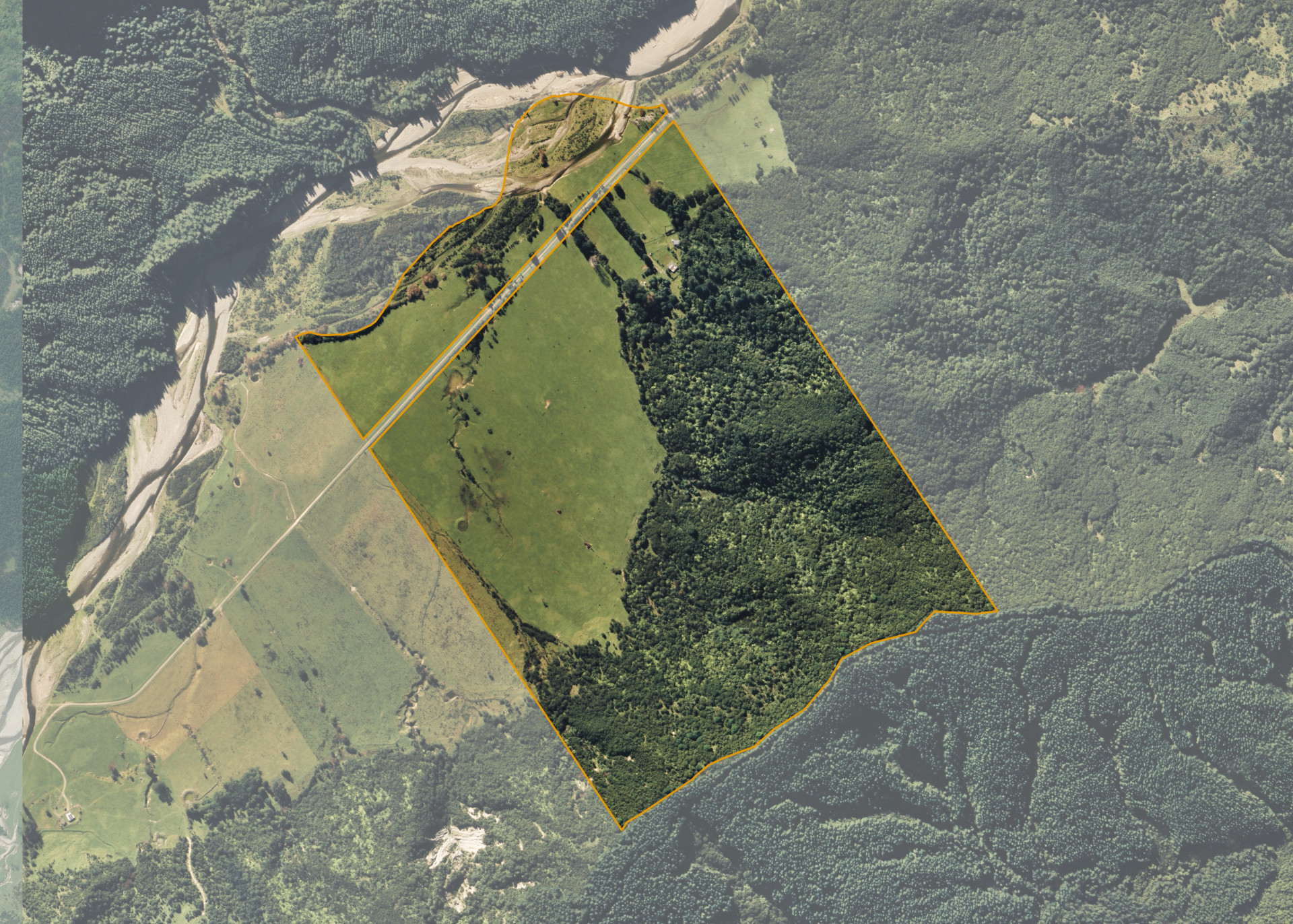
Whetumatarau B51
Whetumatarau B51 is a 84.7 hectare property situated on both sides of Karakatuwhero Road, some 8km south-west of Te Araroa.
Whetumatarau B51 is utilised for grazing purposes.
Land Information
- Land area:
- 84.409 hectares
- Location:
- Karakatuwhero Rd, Te Araroa
- Region:
- Gisborne
- Māori Land Court region:
- Tairawhiti
- Role of Māori Trustee for this whenua:
- Agent
Learn more about the role of the Māori Trustee.
Owner Information
There are 67 people or whānau trusts who have shares in Whetumatarau B51.
Find individual owners or whānau trusts for this whenua
Tip: Search by first name
If you have a question about this whenua or you want to update your details please contact us.
Find out about upcoming owner hui for this whenuaStay connected with My Whenua
My Whenua is our online service for owners, trustees, whānau and those with a connection to whenua we look after on their behalf.
It’s a way to stay up to date with information about your whenua, including:
- Maps and photos
- Owner reports
- A list of owners
- Minutes of owner hui, and more.