Rangitikei Manawatu C10
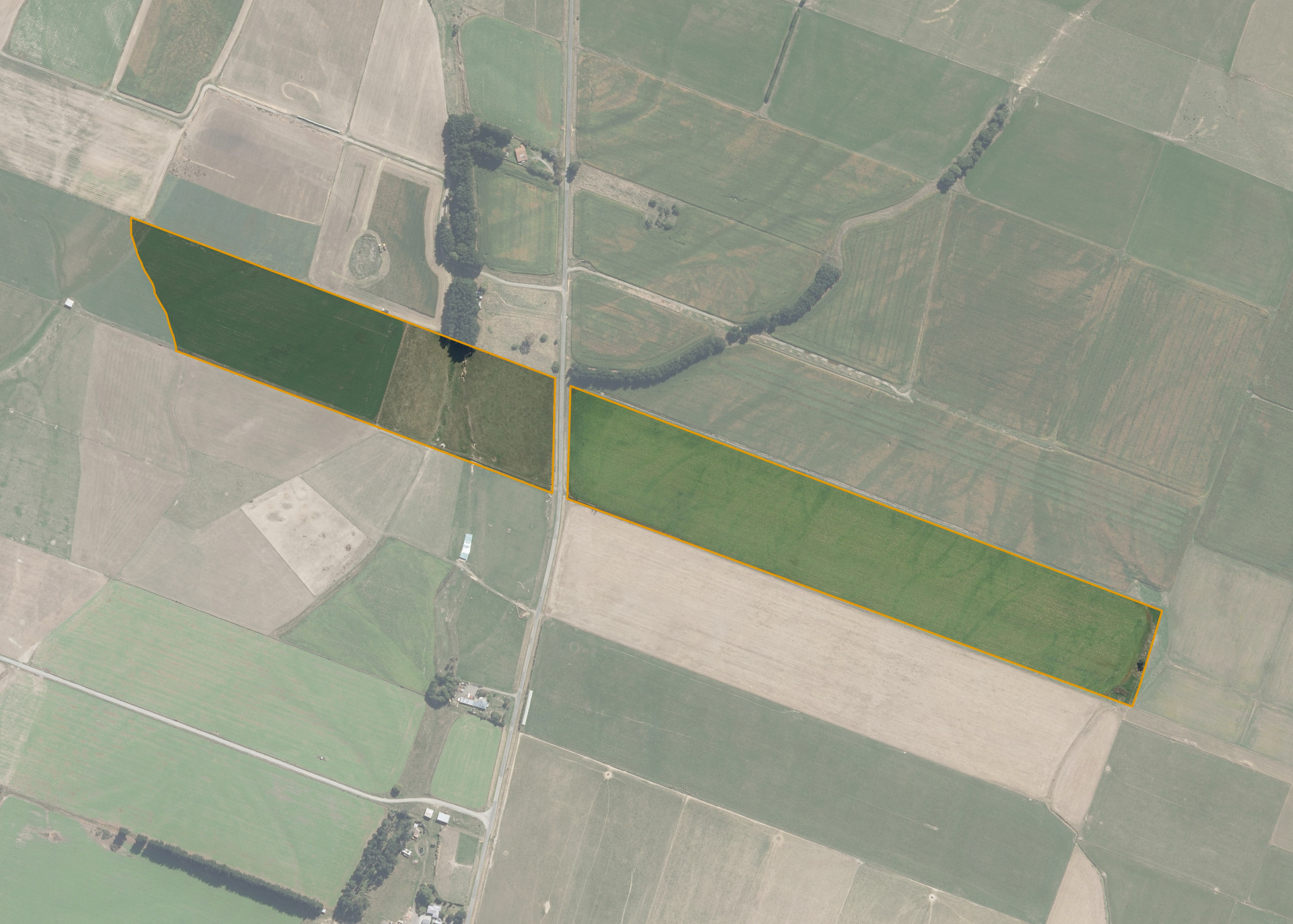
Rangitikei Manawatu C10 is a 20.3329 hectare property situated on either side of McDonell Road, approximately 5 kilometres west of Sanson. The land is mainly flat through to undulating in contour. The block can be accessed from McDonell Road.
The effective area, approximately 19.2 hectares, is currently utilised for dairy support and cropping. The balance of the land can be attributed to drains, wet areas and tracks.
Land Information
- Land area:
- 20.3329 hectares
- Location:
- McDonnell Road, Sanson
- Region:
- Manawatu / Whanganui
- Māori Land Court region:
- Aotea
- Role of Māori Trustee for this whenua:
- Responsible Trustee
Learn more about the role of the Māori Trustee.
Owner Information
There are 65 people or whānau trusts who have shares in Rangitikei Manawatu C10.
Find individual owners or whānau trusts for this whenua
Tip: Search by first name
If you have a question about this whenua or you want to update your details please contact us.
Find out about upcoming owner hui for this whenuaStay connected with My Whenua
My Whenua is our online service for owners, trustees, whānau and those with a connection to whenua we look after on their behalf.
It’s a way to stay up to date with information about your whenua, including:
- Maps and photos
- Owner reports
- A list of owners
- Minutes of owner hui, and more.