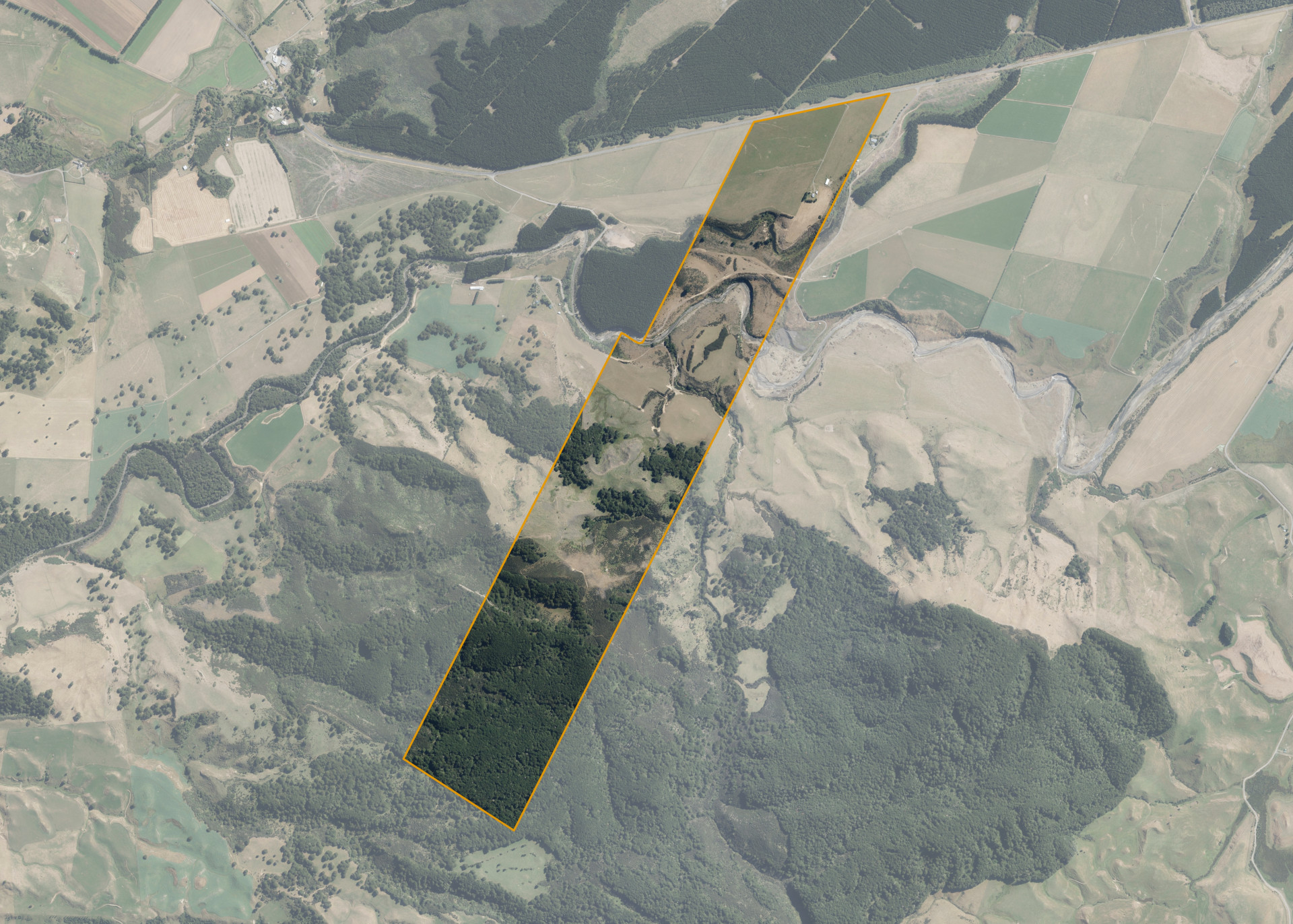
Murimotu 5B 2C
Murimotu 5B 2C is a 217.683 hectare property situated on State Highway 49, Karioi, and is approximately 18 kilometres from Ohakune. The land ranges from flat to steep hill in contour and is dissected by the Whangaehu River. The block can be accessed from State Highway 49 and via neighbouring land.
The block is currently utilised for grazing, planting Manuka for beehives and planting forestry. The Manuka and forestry planting areas are excluded from the grazing lease.
There is a dwelling, garage/workshop and a hay barn/implement shed on the property.
Land Information
- Land area:
- 217.683 hectares
- Location:
- State Highway 49, Karioi
- Region:
- Manawatu / Whanganui
- Māori Land Court region:
- Aotea
- Role of Māori Trustee for this whenua:
- Responsible Trustee
Learn more about the role of the Māori Trustee.
Owner Information
There are 266 people or whānau trusts who have shares in Murimotu 5B 2C.
Find individual owners or whānau trusts for this whenua
Tip: Search by first name
If you have a question about this whenua or you want to update your details please contact us.
Find out about upcoming owner hui for this whenuaStay connected with My Whenua
My Whenua is our online service for owners, trustees, whānau and those with a connection to whenua we look after on their behalf.
It’s a way to stay up to date with information about your whenua, including:
- Maps and photos
- Owner reports
- A list of owners
- Minutes of owner hui, and more.