Rangitikei Manawatu C4B4
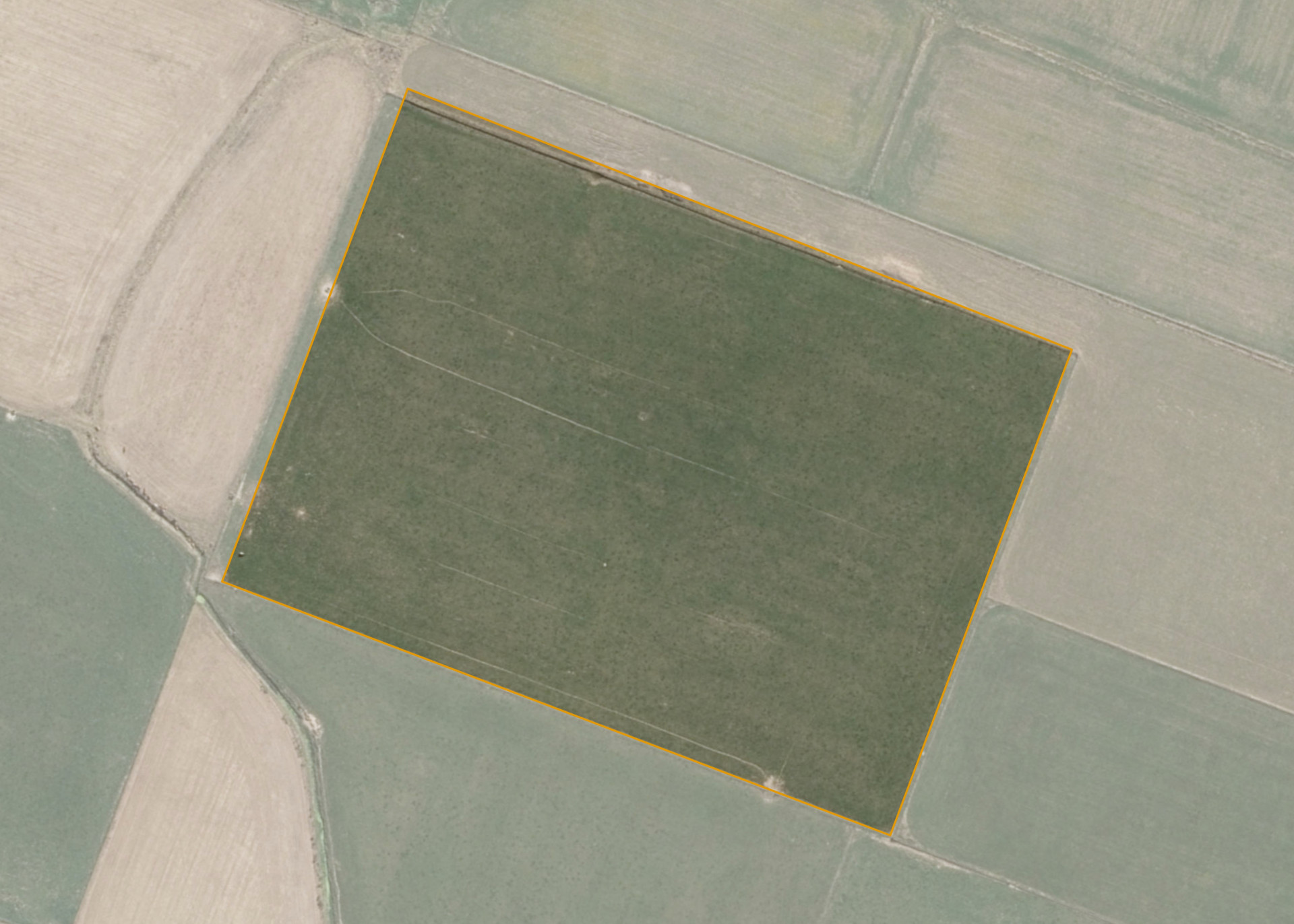
Rangitikei Manawatu C4B4 is a 4.0468 hectare property situated at Ohakea, approximately 6 kilometres west of Sanson. The land is flat to very easy undulating in contour with some lower lying areas. Soils on the property comprise of Ohakea silt loam. The block is landlocked and is currently run in conjunction with adjoining land.
The entire block is effective and is currently utilised for dairy support.
Land Information
- Land area:
- 4.0468 hectares
- Location:
- Tangimoana Road, Bulls
- Region:
- Manawatu / Whanganui
- Māori Land Court region:
- Aotea
- Role of Māori Trustee for this whenua:
- Responsible Trustee
Learn more about the role of the Māori Trustee.
Owner Information
There are 76 people or whānau trusts who have shares in Rangitikei Manawatu C4B4.
Find individual owners or whānau trusts for this whenua
Tip: Search by first name
If you have a question about this whenua or you want to update your details please contact us.
Find out about upcoming owner hui for this whenuaStay connected with My Whenua
My Whenua is our online service for owners, trustees, whānau and those with a connection to whenua we look after on their behalf.
It’s a way to stay up to date with information about your whenua, including:
- Maps and photos
- Owner reports
- A list of owners
- Minutes of owner hui, and more.