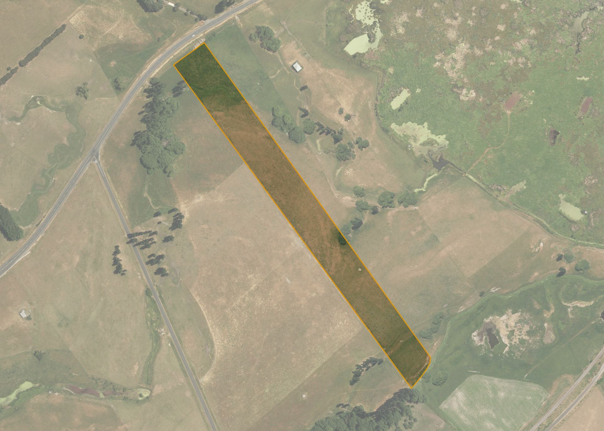
Pekapeka 2B4A
Pekapeka 2B4A is a 4.4566 hectare property situated on State Highway 2, approximately 10 kilometres from Hastings. The land is mostly flat to easy rolling in contour and has a northerly aspect. The block can be accessed off State Highway 2 or via Te Mahanga Road.
The effective area, approximately 4.0 hectares, is currently utilised for fat stock farming. The balance of the land can be attributed to wet areas.
Land Information
- Land area:
- 4.4566 hectares
- Location:
- S Highway 2, Te Mahanga
- Region:
- Hawkes Bay
- Māori Land Court region:
- Takitimu
- Role of Māori Trustee for this whenua:
- Responsible Trustee
Learn more about the role of the Māori Trustee.
Owner Information
There are 51 people or whānau trusts who have shares in Pekapeka 2B4A.
Find individual owners or whānau trusts for this whenua
Tip: Search by first name
If you have a question about this whenua or you want to update your details please contact us.
Find out about upcoming owner hui for this whenuaStay connected with My Whenua
My Whenua is our online service for owners, trustees, whānau and those with a connection to whenua we look after on their behalf.
It’s a way to stay up to date with information about your whenua, including:
- Maps and photos
- Owner reports
- A list of owners
- Minutes of owner hui, and more.