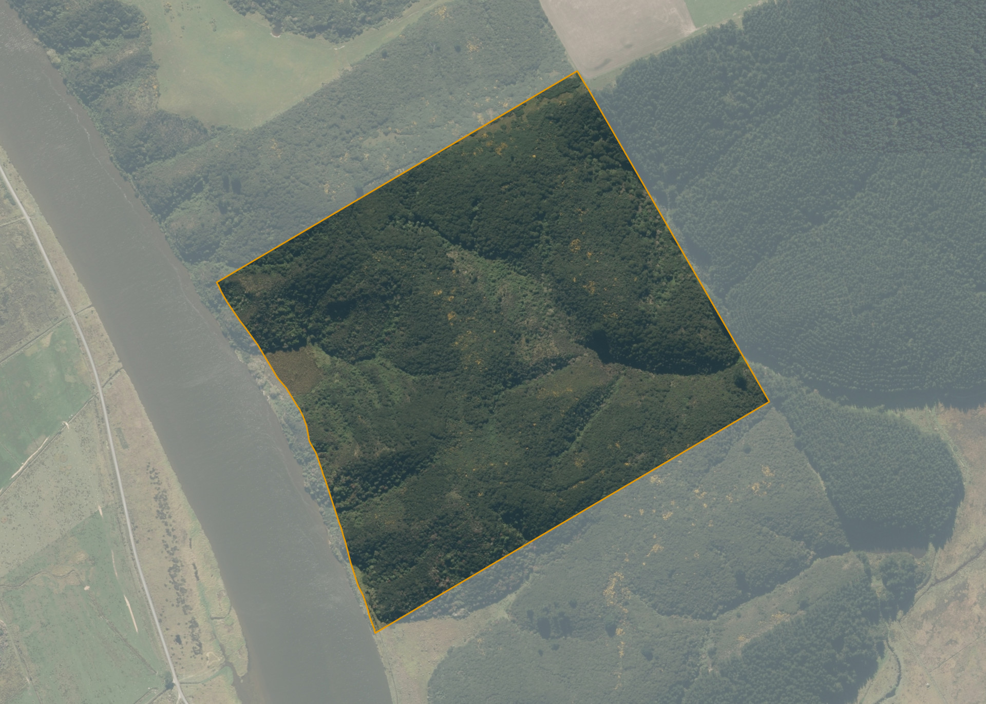
Taieri A Sec 20
Taieri A Sec 20 is a 40.3107 hectare property located on the Waipori River near Taieri, south of Dunedin.
The land has moderate limitations for arable use, if cleared it could be suitable for pasture or forestry. Taieri A Sec 20 has a mixed contour of steep and flat.
The property is currently vacant.
Land Information
- Land area:
- 40.3107 hectares
- Location:
- Off Takitakitoa Road, Kuri Bush, Dunedin
- Region:
- Otago
- Māori Land Court region:
- Te Waipounamu
- Role of Māori Trustee for this whenua:
- Responsible Trustee
Learn more about the role of the Māori Trustee.
Owner Information
There are 678 people or whānau trusts who have shares in Taieri A Sec 20.
Find individual owners or whānau trusts for this whenua
Tip: Search by first name
If you have a question about this whenua or you want to update your details please contact us.
Find out about upcoming owner hui for this whenuaStay connected with My Whenua
My Whenua is our online service for owners, trustees, whānau and those with a connection to whenua we look after on their behalf.
It’s a way to stay up to date with information about your whenua, including:
- Maps and photos
- Owner reports
- A list of owners
- Minutes of owner hui, and more.