Reu Reu 1 Sub 13C
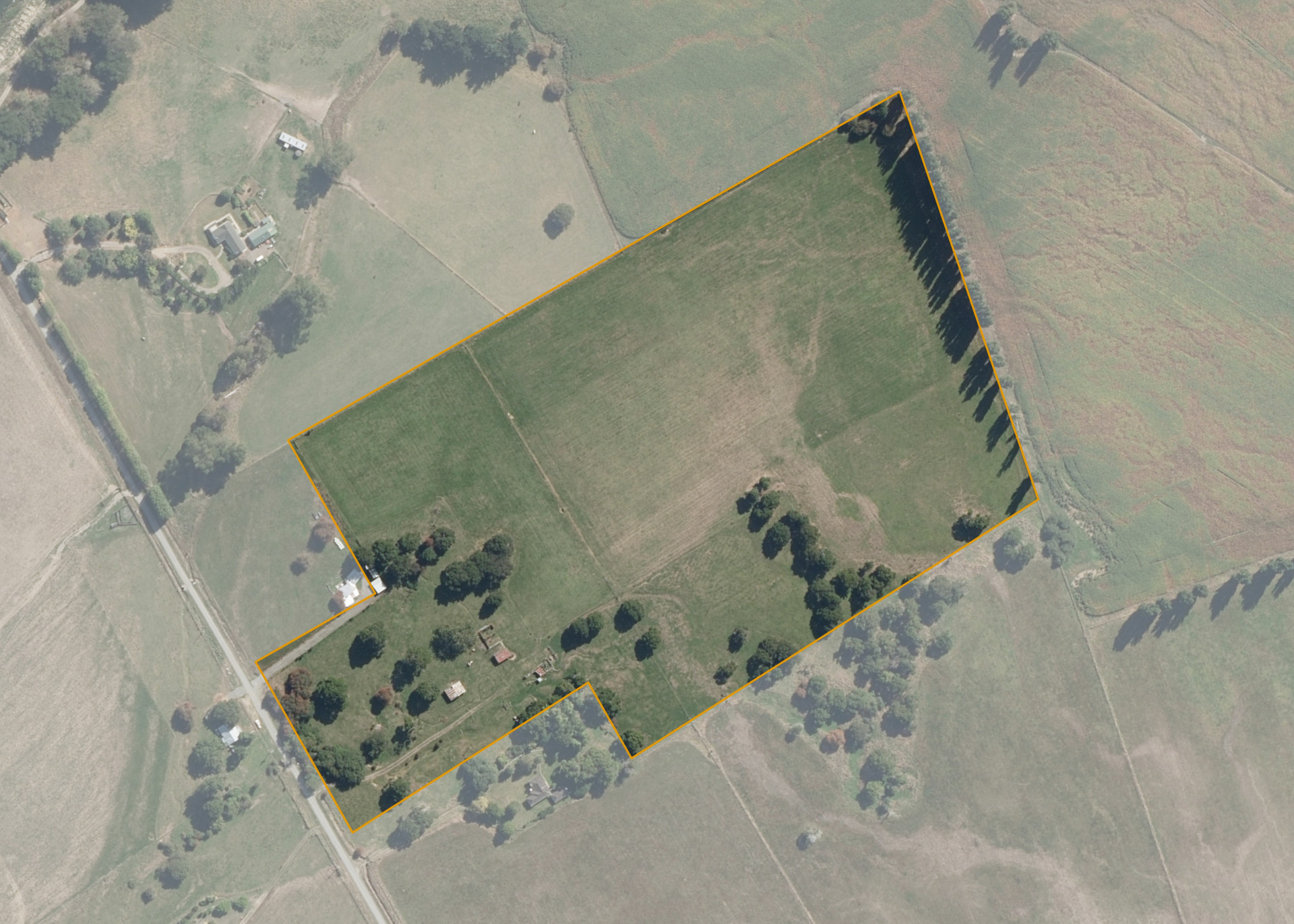
Reu Reu 1 Sub 13c has a land area of 10.13 hectares and is a small block of flat land situated upstream from Kakariki, on riverflats on the eastern side of the Rangitikei River.
Land Information
- Land area:
- 10.1323 hectares
- Location:
- Makino Road, Tokorangi
- Region:
- Manawatu / Whanganui
- Māori Land Court region:
- Aotea
- Role of Māori Trustee for this whenua:
- Other
Learn more about the role of the Māori Trustee.
Owner Information
There are 56 people or whānau trusts who have shares in Reu Reu 1 Sub 13C.
Find individual owners or whānau trusts for this whenua
Tip: Search by first name
If you have a question about this whenua or you want to update your details please contact us.
Find out about upcoming owner hui for this whenuaStay connected with My Whenua
My Whenua is our online service for owners, trustees, whānau and those with a connection to whenua we look after on their behalf.
It’s a way to stay up to date with information about your whenua, including:
- Maps and photos
- Owner reports
- A list of owners
- Minutes of owner hui, and more.