Waimarino 3F4
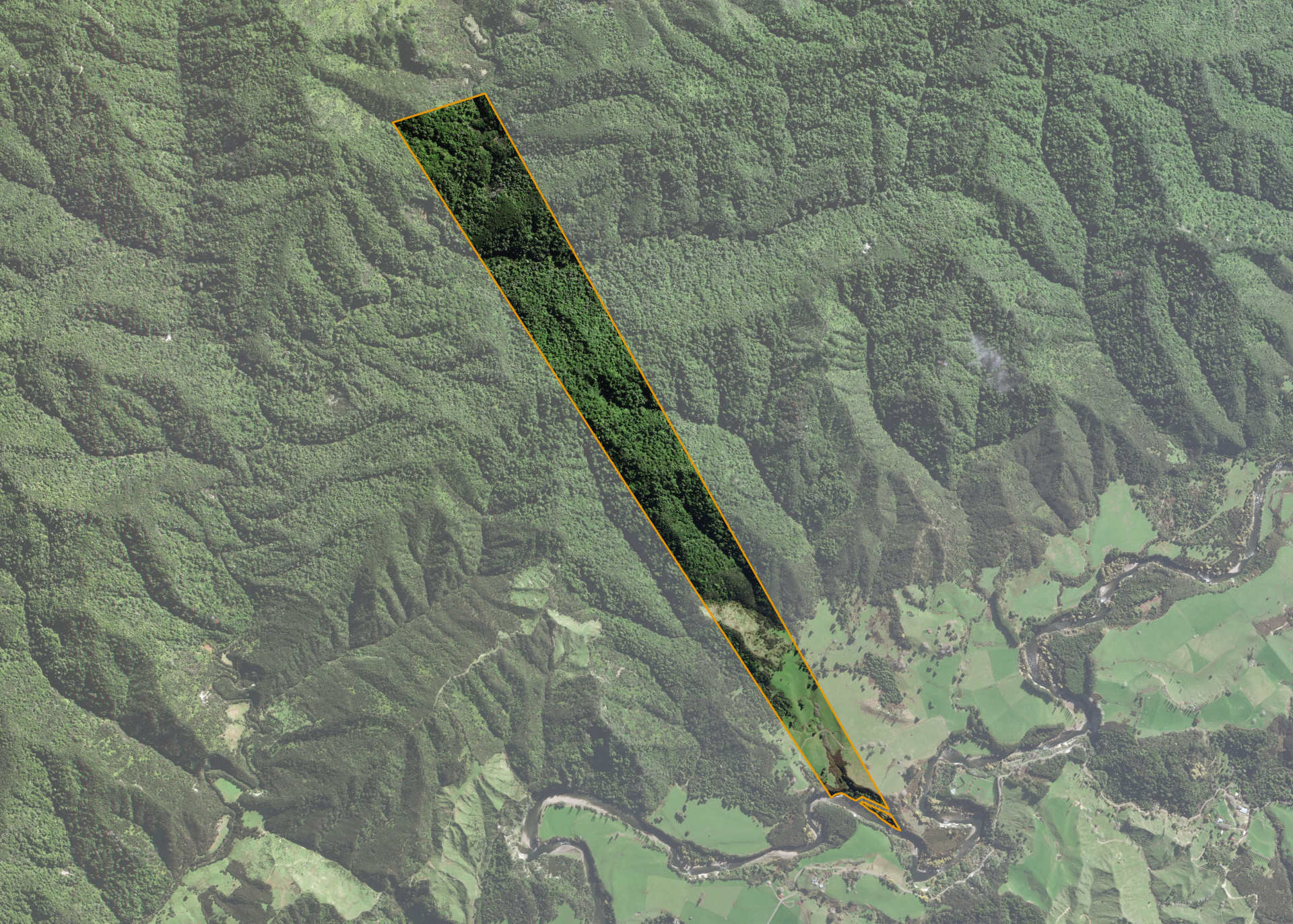
Waimarino 3F4 is a 109.5 hectare rather isolated property situated Makakahi Road, some 23km north-west of Raetihi in the Makakahi Valley on the northern bank of the Manganui-o-te-ao River. It is accessed via a swing bridge over the Manganui-o-te-ao River, which is accessed by a right of way across neighbouring land to the eastern corner.
The block is limited area of flat and rolling land running to steep bush covered hillside.
Waimarino 3F4 is utilised for grazing purposes.
Land Information
- Land area:
- 109.343 hectares
- Location:
- Makakahi Road, Raetihi
- Region:
- Manawatu / Whanganui
- Māori Land Court region:
- Aotea
- Role of Māori Trustee for this whenua:
- Agent
Learn more about the role of the Māori Trustee.
Owner Information
There are 54 people or whānau trusts who have shares in Waimarino 3F4.
Find individual owners or whānau trusts for this whenua
Tip: Search by first name
If you have a question about this whenua or you want to update your details please contact us.
Find out about upcoming owner hui for this whenuaStay connected with My Whenua
My Whenua is our online service for owners, trustees, whānau and those with a connection to whenua we look after on their behalf.
It’s a way to stay up to date with information about your whenua, including:
- Maps and photos
- Owner reports
- A list of owners
- Minutes of owner hui, and more.