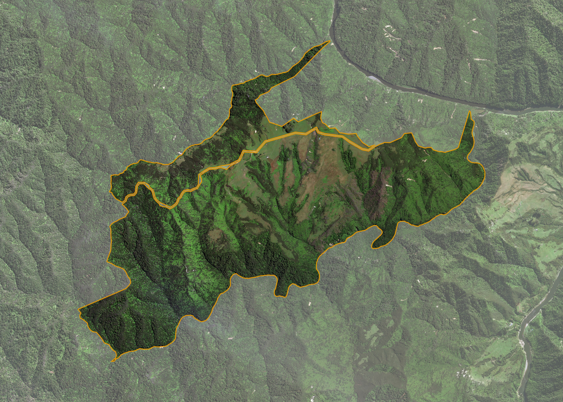
Taumatamahoe 2B No. 2B Sec 14
Taumatamahoe 2B No. 2B Sec 14 is a 903.5112 hectare property situated on the west bank of the Whanganui River, approximately 20 kilometres north-west of Pipiriki. The land is predominantly easy to steep hill in contour. The block has no formed legal road access. The land can only be accessed via air.
The block is not formally leased.
Land Information
- Land area:
- 903.5112 hectares
- Location:
- Whanganui National Park, Whanganui
- Region:
- Manawatu / Whanganui
- Māori Land Court region:
- Aotea
- Role of Māori Trustee for this whenua:
- Responsible Trustee
Learn more about the role of the Māori Trustee.
Owner Information
There are 449 people or whānau trusts who have shares in Taumatamahoe 2B No. 2B Sec 14.
Find individual owners or whānau trusts for this whenua
Tip: Search by first name
If you have a question about this whenua or you want to update your details please contact us.
Find out about upcoming owner hui for this whenuaStay connected with My Whenua
My Whenua is our online service for owners, trustees, whānau and those with a connection to whenua we look after on their behalf.
It’s a way to stay up to date with information about your whenua, including:
- Maps and photos
- Owner reports
- A list of owners
- Minutes of owner hui, and more.