Rangitikei Manawatu C9B5
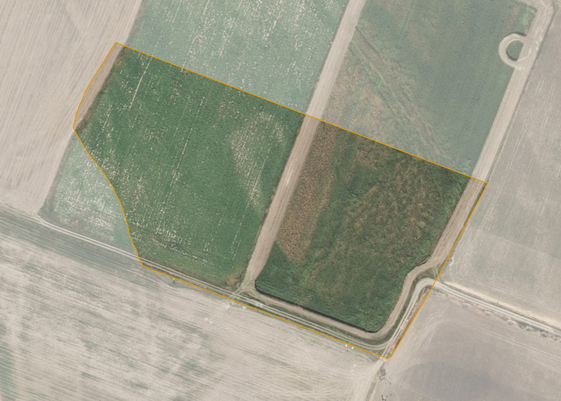
Rangitikei Manawatu C9B5 is a 3.5385 hectare property situated on McDonell Road, approximately 5 kilometres west of Sanson. The land is flat in contour and has an open aspect. The block is landlocked but can be accessed via neighbouring land.
The property is entirely effective and leased along with four other Rangitikei Manawatu blocks and they are split by McDonell Road. Combined these properties total 38.8907 hectares of which 38.26 hectares is currently utilised for dairy grazing and feed crops. The balance of the land can be attributed to drains, a dam and the tree area.
Land Information
- Land area:
- 3.5385 hectares
- Location:
- McDonnell Road, Bulls
- Region:
- Manawatu / Whanganui
- Māori Land Court region:
- Aotea
- Role of Māori Trustee for this whenua:
- Responsible Trustee
Learn more about the role of the Māori Trustee.
Owner Information
There are 203 people or whānau trusts who have shares in Rangitikei Manawatu C9B5.
Find individual owners or whānau trusts for this whenua
Tip: Search by first name
If you have a question about this whenua or you want to update your details please contact us.
Find out about upcoming owner hui for this whenuaStay connected with My Whenua
My Whenua is our online service for owners, trustees, whānau and those with a connection to whenua we look after on their behalf.
It’s a way to stay up to date with information about your whenua, including:
- Maps and photos
- Owner reports
- A list of owners
- Minutes of owner hui, and more.