Waiorongomai 7F (Te Rei Trust)
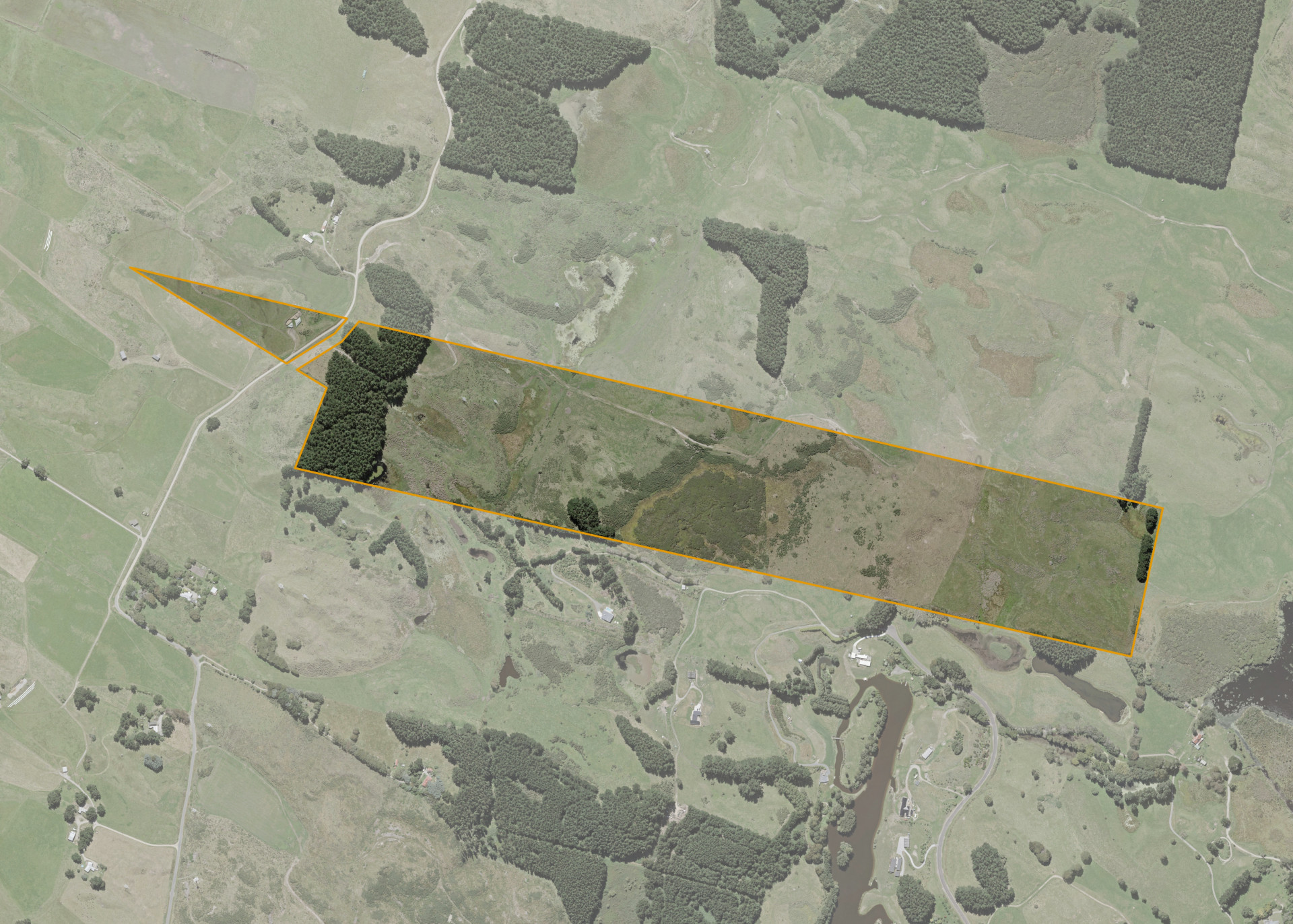
Waiorongomai 7F (Te Rei Trust) is a 48.4905 hectare property split into two severances by Waiorongomai Road, approximately 5 kilometres north of Otaki. The land is flat to moderately steep hill in contour and high tension power lines cross the property. The block can be accessed from the road.
The effective area, approximately 40.45 hectares, is currently utilised for grazing in conjunction with neighbouring land. The balance of the land can be attributed to steep land, sidlings in pine trees and swamp areas.
There is a set of cattle yards on the property.
Land Information
- Land area:
- 48.4905 hectares
- Location:
- 239 Waiorongomai Road, Otaki
- Region:
- Wellington Region
- Māori Land Court region:
- Aotea
- Role of Māori Trustee for this whenua:
- Responsible Trustee
Learn more about the role of the Māori Trustee.
Owner Information
There are 19 people or whānau trusts who have shares in Waiorongomai 7F (Te Rei Trust).
Find individual owners or whānau trusts for this whenua
Tip: Search by first name
If you have a question about this whenua or you want to update your details please contact us.
Find out about upcoming owner hui for this whenuaStay connected with My Whenua
My Whenua is our online service for owners, trustees, whānau and those with a connection to whenua we look after on their behalf.
It’s a way to stay up to date with information about your whenua, including:
- Maps and photos
- Owner reports
- A list of owners
- Minutes of owner hui, and more.