Takiruahine 5A & 5B
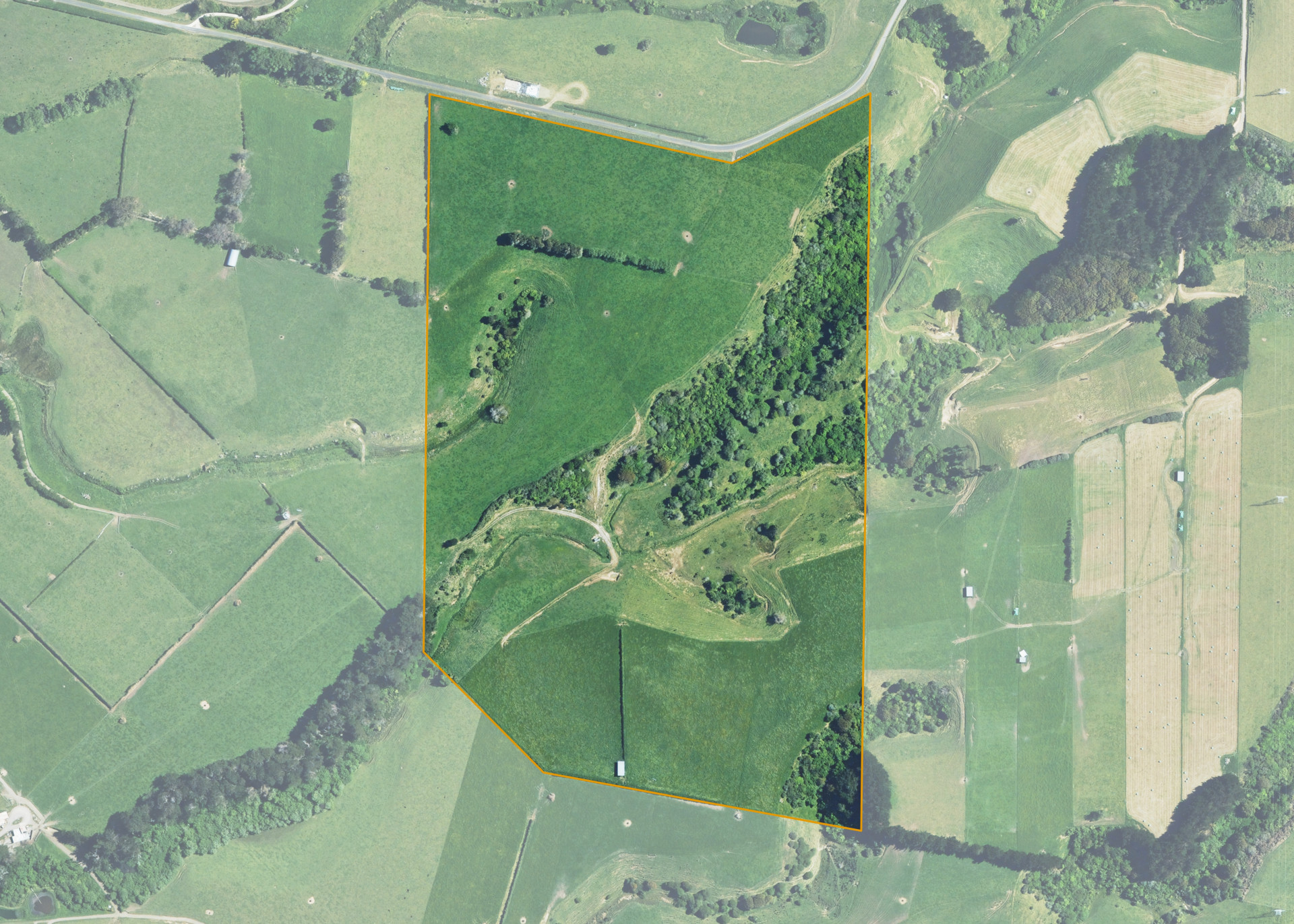
Takiruahine 5A & 5B is a 26.19 hectare property situated on Otaki Road (also known as Whakamaru Road), approximately 18 kilometres south-east of Hawera. The land is flat to easy/medium steep sidling in contour. Soils on the property comprise of Egmont brown loam. The block can be accessed from Whakamaru Road.
The effective area, approximately 22.0 hectares, is currently utilised for dairy grazing. The balance of the land can be attributed to light bush and swampy areas.
There is a small set of basic cattle yards, a 3-bay hay barn and a pump shed on the property.
Land Information
- Land area:
- 26.1983 hectares
- Location:
- Whakamara Road, Hawera
- Region:
- Taranaki
- Māori Land Court region:
- Aotea
- Role of Māori Trustee for this whenua:
- Responsible Trustee
Learn more about the role of the Māori Trustee.
Owner Information
There are 164 people or whānau trusts who have shares in Takiruahine 5A & 5B.
Find individual owners or whānau trusts for this whenua
Tip: Search by first name
If you have a question about this whenua or you want to update your details please contact us.
Find out about upcoming owner hui for this whenuaStay connected with My Whenua
My Whenua is our online service for owners, trustees, whānau and those with a connection to whenua we look after on their behalf.
It’s a way to stay up to date with information about your whenua, including:
- Maps and photos
- Owner reports
- A list of owners
- Minutes of owner hui, and more.