Rangitaiki 21B1
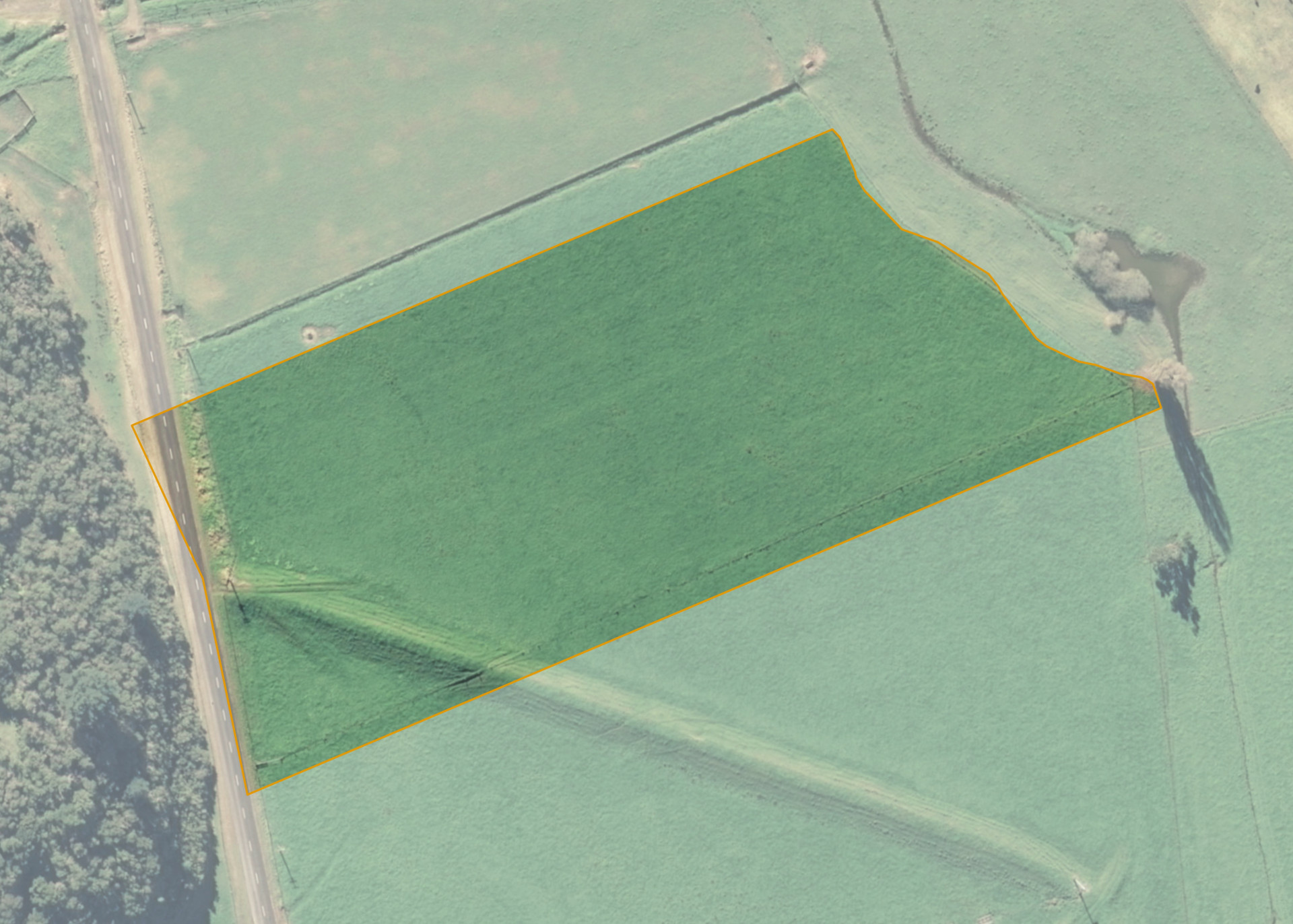
Rangitaiki 21B1 is a 2.6911 hectare property situated on Rewatu Road, approximately 11.5 kilometres from Whakatane. The land is level to slightly undulating in contour and has an open aspect. The block can be accessed from Rewatu Road.
The block is currently leased together with Rangitaiki 21B2 and Rangitaiki 21B3. Combined the blocks area totals 7.1249 hectares, of which, 7.0 hectares is currently utilised for grazing dairy heifers and making supplementary feed. The balance of the land can be attributed to the land taken for road and rounding down.
A significant stop bank runs through the combined properties and protects the land from a one in 100 year flood event of the Whakatane River which is 150 metres to the east of the blocks.
Land Information
- Land area:
- 2.6911 hectares
- Location:
- Rewatu Road, Whakatane
- Region:
- Bay of Plenty
- Māori Land Court region:
- Waiariki
- Role of Māori Trustee for this whenua:
- Responsible Trustee
Learn more about the role of the Māori Trustee.
Owner Information
There are 350 people or whānau trusts who have shares in Rangitaiki 21B1.
Find individual owners or whānau trusts for this whenua
Tip: Search by first name
If you have a question about this whenua or you want to update your details please contact us.
Find out about upcoming owner hui for this whenuaStay connected with My Whenua
My Whenua is our online service for owners, trustees, whānau and those with a connection to whenua we look after on their behalf.
It’s a way to stay up to date with information about your whenua, including:
- Maps and photos
- Owner reports
- A list of owners
- Minutes of owner hui, and more.