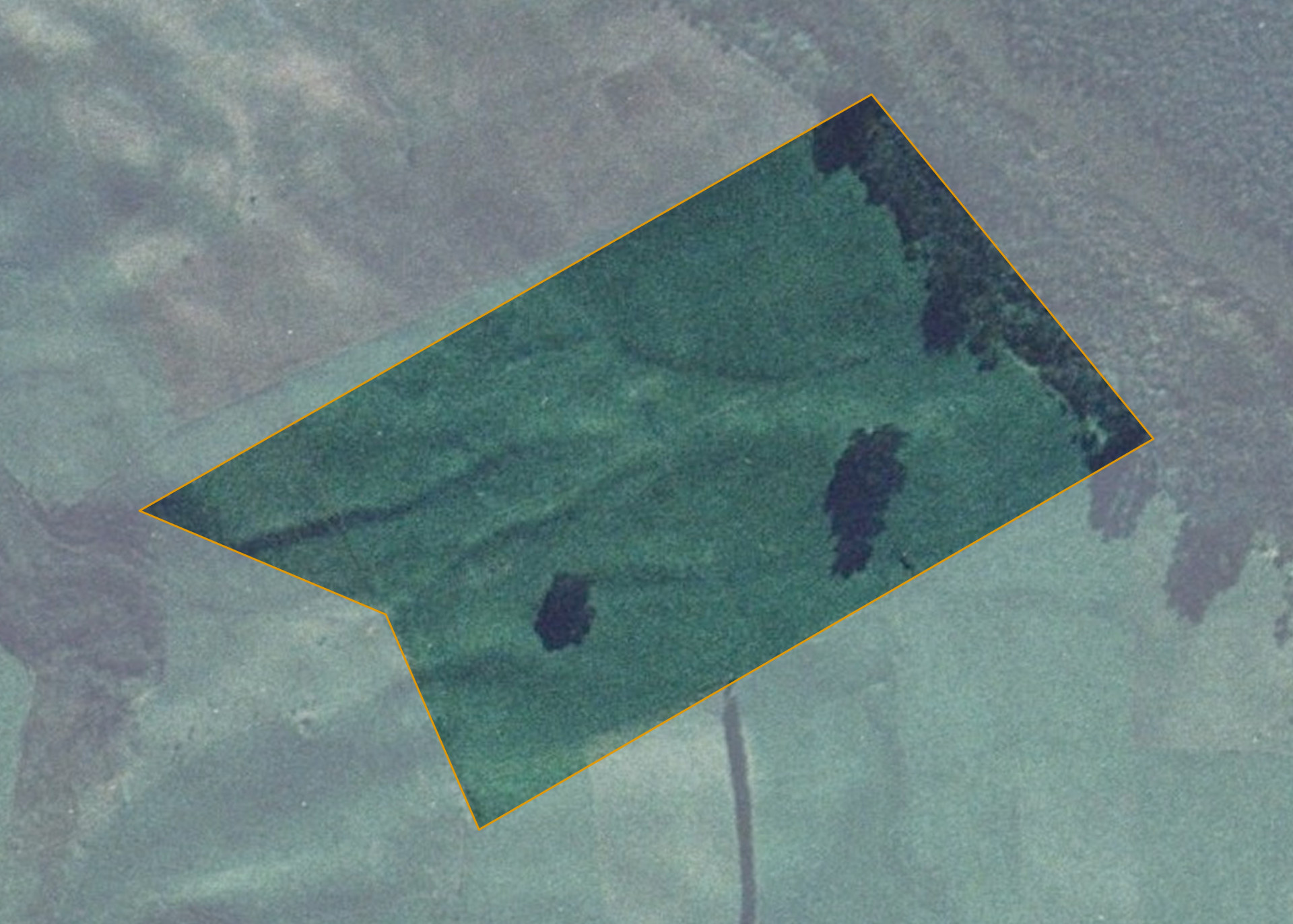
Te Kuri SD Blk II Sec 1B
Te Kuri SD Blk II Sec 1B is a 6.0703 hectare property situated on Otara Point Road, 23 kilometres south of Te Kopuru. Access to the block is currently gained through the lessee's (Otara Point Farms) adjoining dairy farm.
The block has an open aspect tending westerly and is easy undulating in contour.
The property's soils comprise of Tangitiki sandy loams. The effective area, some 5.6 hectares, is currently utilised for dairying with the adjoining farmers land. The balance of the land can be attributed to bush and scrub on the property.
The property does not have an individual water or power supply with the current supply sourced from the adjoining lessee's farm.
Land Information
- Land area:
- 6.0703 hectares
- Location:
- Otara Point Road, Pouto Peninsula, Dargaville
- Region:
- Northland
- Māori Land Court region:
- Taitokerau
- Role of Māori Trustee for this whenua:
- Responsible Trustee
Learn more about the role of the Māori Trustee.
Owner Information
There are 50 people or whānau trusts who have shares in Te Kuri SD Blk II Sec 1B.
Find individual owners or whānau trusts for this whenua
Tip: Search by first name
If you have a question about this whenua or you want to update your details please contact us.
Find out about upcoming owner hui for this whenuaStay connected with My Whenua
My Whenua is our online service for owners, trustees, whānau and those with a connection to whenua we look after on their behalf.
It’s a way to stay up to date with information about your whenua, including:
- Maps and photos
- Owner reports
- A list of owners
- Minutes of owner hui, and more.