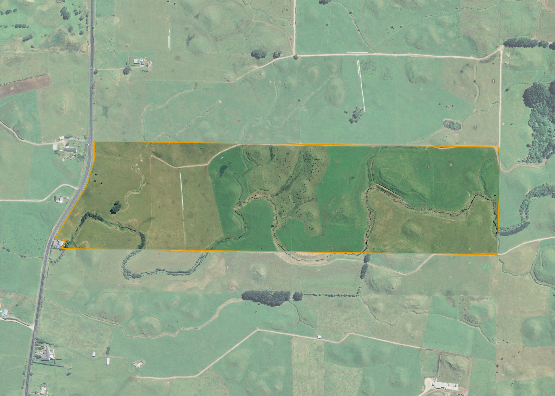
Parihaka C1B
Parihaka C1B comprises a 34.8030 hectare site on the eastern side of South Road (also known as SHWY 45) just to the south of Pungarehu.
The land itself is dissected by multiple waterways and ranges from dairy flats, swampy areas and isolated areas of moderate lahar hills. The land is relatively exposed to coastal and mountains winds, although the central lahar hills provide some relief from both winds.
The block is currently leased to the adjoining farmer and utilised for dairy support grazing. The property boundaries are all fenced and internal fencing divides the property into 14 paddocks.
Access to the block is gained from a roadside entrance off South Road.
Land Information
- Land area:
- 34.803 hectares
- Location:
- South Road, Rahotu
- Region:
- Taranaki
- Māori Land Court region:
- Aotea
- Role of Māori Trustee for this whenua:
- Responsible Trustee
Learn more about the role of the Māori Trustee.
Owner Information
There are 57 people or whānau trusts who have shares in Parihaka C1B.
Find individual owners or whānau trusts for this whenua
Tip: Search by first name
If you have a question about this whenua or you want to update your details please contact us.
Find out about upcoming owner hui for this whenuaStay connected with My Whenua
My Whenua is our online service for owners, trustees, whānau and those with a connection to whenua we look after on their behalf.
It’s a way to stay up to date with information about your whenua, including:
- Maps and photos
- Owner reports
- A list of owners
- Minutes of owner hui, and more.