Manawatu Kukutauaki 4E 2A2
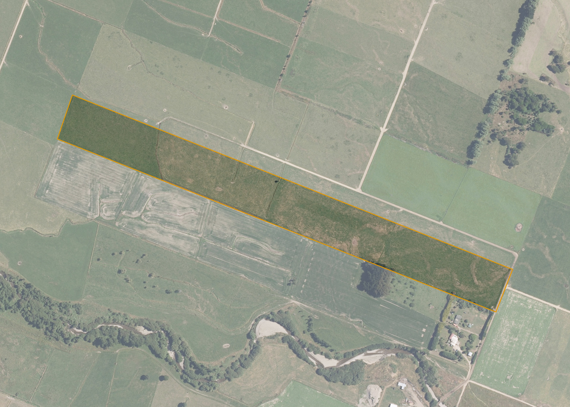
Manawatu Kukutauaki 4E 2A2 is a 13.5046 hectare property situated on the unformed section of Whakahoro Road, approximately 10 kilometres south of Levin. The land is flat to very easy undulating in contour and falls to the west. The block can be accessed via a right of way.
The effective area, approximately 13.280 hectares, is currently utilised for dairy platform and is run in conjunction with the lessee's land. The balance of the land can be attributed to drains.
Land Information
- Land area:
- 13.5046 hectares
- Location:
- Whakahoro Road, Manakau
- Region:
- Manawatu / Whanganui
- Māori Land Court region:
- Aotea
- Role of Māori Trustee for this whenua:
- Responsible Trustee
Learn more about the role of the Māori Trustee.
Owner Information
There are 56 people or whānau trusts who have shares in Manawatu Kukutauaki 4E 2A2.
Find individual owners or whānau trusts for this whenua
Tip: Search by first name
If you have a question about this whenua or you want to update your details please contact us.
Find out about upcoming owner hui for this whenuaStay connected with My Whenua
My Whenua is our online service for owners, trustees, whānau and those with a connection to whenua we look after on their behalf.
It’s a way to stay up to date with information about your whenua, including:
- Maps and photos
- Owner reports
- A list of owners
- Minutes of owner hui, and more.