Ngatipahiko B1B
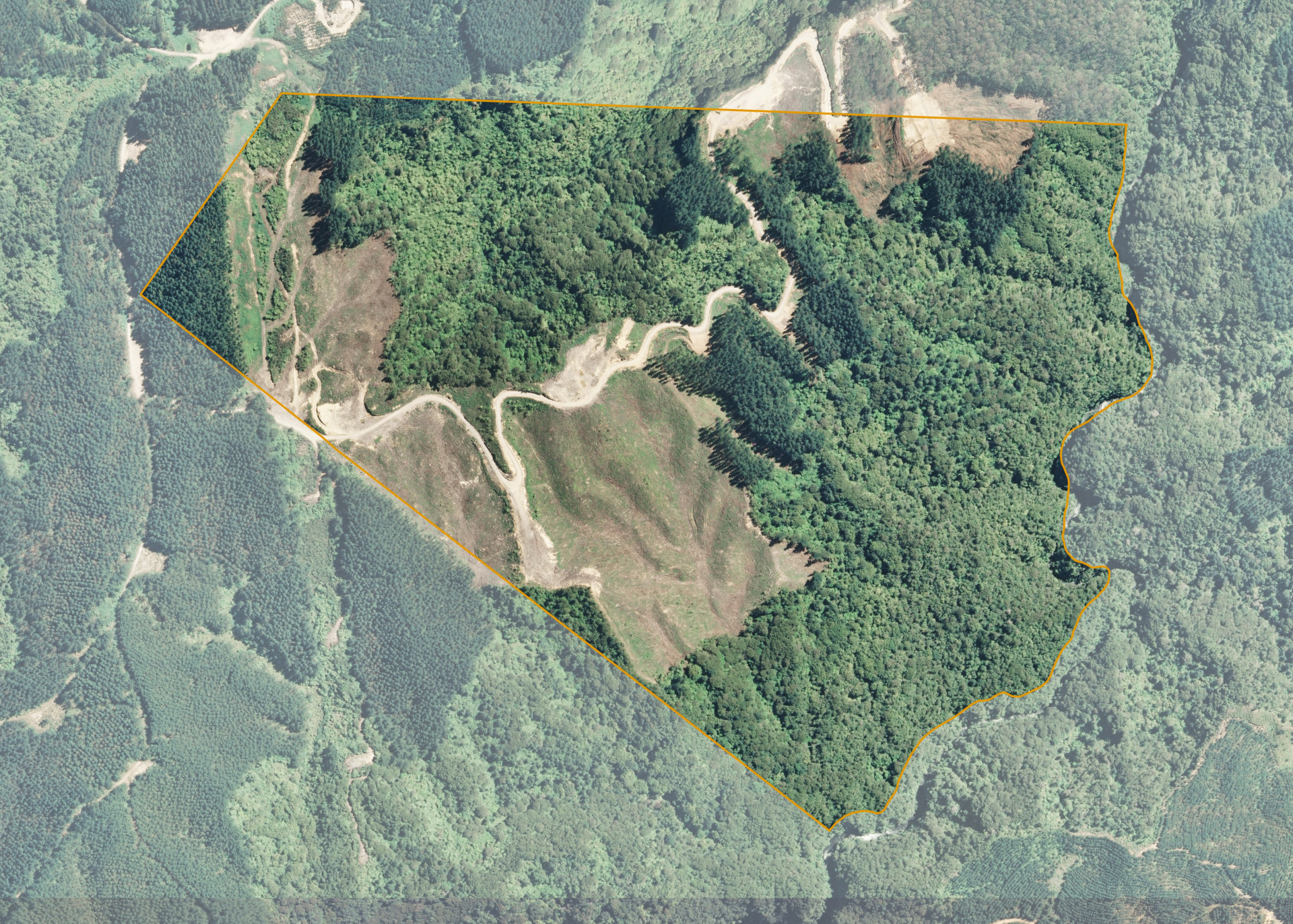
Ngatipahiko B1B is a 75.2715 hectare block situated just off Kaharoa Road, some 40km's north-east of Rotorua. Access to the block is gained through other forestry properties. The effective area, some 33.3 hectares, was used for commercial forestry. This area comprises steep topography (65%) and easier topography suited to ground-based harvest (35%).
The balance of the land is in a permanent cover of native bush under the NZ Forest Accord. The land is steep with incised water courses.
The land has historically been planted in pinus radiate in conjunction with adjoining forestry lands known as Pinnacles and Sun Valley forests.
The forest has altitude range of 220-280 masl and has both south-easterly and north- westerly aspects with a central ridge.
Soils are an Oropi sand derived from Kaharoa ash. This soil has a profile of light brown gravelly sand with low to medium natural fertility. The soils and climate are well suited to plantation forestry.
A well-formed forestry logging track passes through the centre of the productive area (Ngatipahiko Road).
Land Information
- Land area:
- 75.2715 hectares
- Location:
- Kaharoa Road, Paengaroa
- Region:
- Bay of Plenty
- Māori Land Court region:
- Waiariki
- Role of Māori Trustee for this whenua:
- Responsible Trustee
Learn more about the role of the Māori Trustee.
Owner Information
There are 304 people or whānau trusts who have shares in Ngatipahiko B1B.
Find individual owners or whānau trusts for this whenua
Tip: Search by first name
If you have a question about this whenua or you want to update your details please contact us.
Find out about upcoming owner hui for this whenuaStay connected with My Whenua
My Whenua is our online service for owners, trustees, whānau and those with a connection to whenua we look after on their behalf.
It’s a way to stay up to date with information about your whenua, including:
- Maps and photos
- Owner reports
- A list of owners
- Minutes of owner hui, and more.