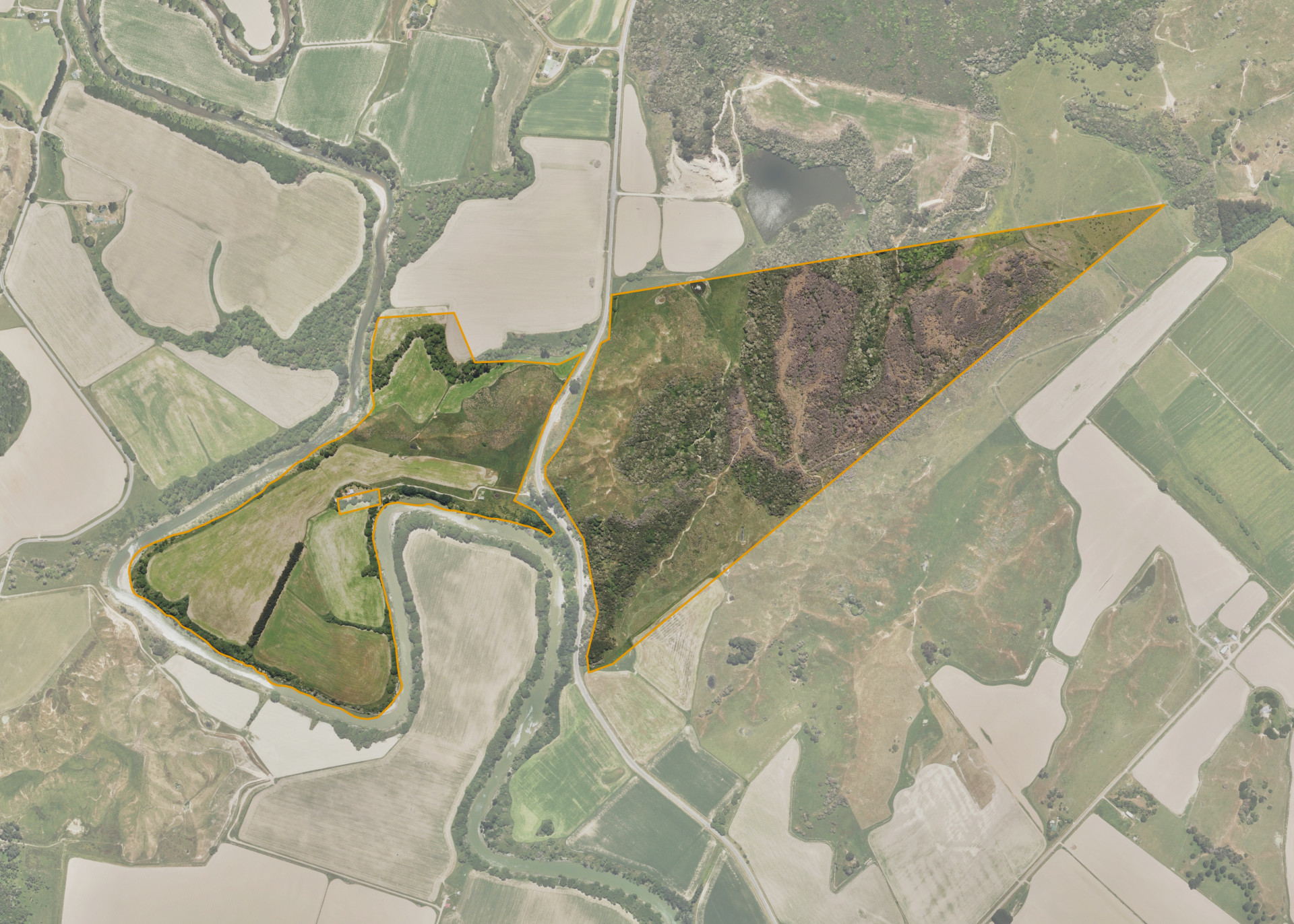
Mangatuna 3 & 4
Mangatuna 3 & 4 is a 105.27 hectare property situated off State Highway 35, some 8km sorth of Tolaga Bay and access is gained directly from State Highway 35.
The property is predominately flat to steep contour.
Mangatuna 3 & 4 is utilised for grazing and cropping purposes.
There are three Wahi Tapu sites near the western boundary of the eastern severance.
Land Information
- Land area:
- 105.497 hectares
- Location:
- State Highway 35, Tolaga Bay
- Region:
- Gisborne
- Māori Land Court region:
- Tairawhiti
- Role of Māori Trustee for this whenua:
- Agent
Learn more about the role of the Māori Trustee.
Owner Information
There are 383 people or whānau trusts who have shares in Mangatuna 3 & 4.
Find individual owners or whānau trusts for this whenua
Tip: Search by first name
If you have a question about this whenua or you want to update your details please contact us.
Find out about upcoming owner hui for this whenuaStay connected with My Whenua
My Whenua is our online service for owners, trustees, whānau and those with a connection to whenua we look after on their behalf.
It’s a way to stay up to date with information about your whenua, including:
- Maps and photos
- Owner reports
- A list of owners
- Minutes of owner hui, and more.