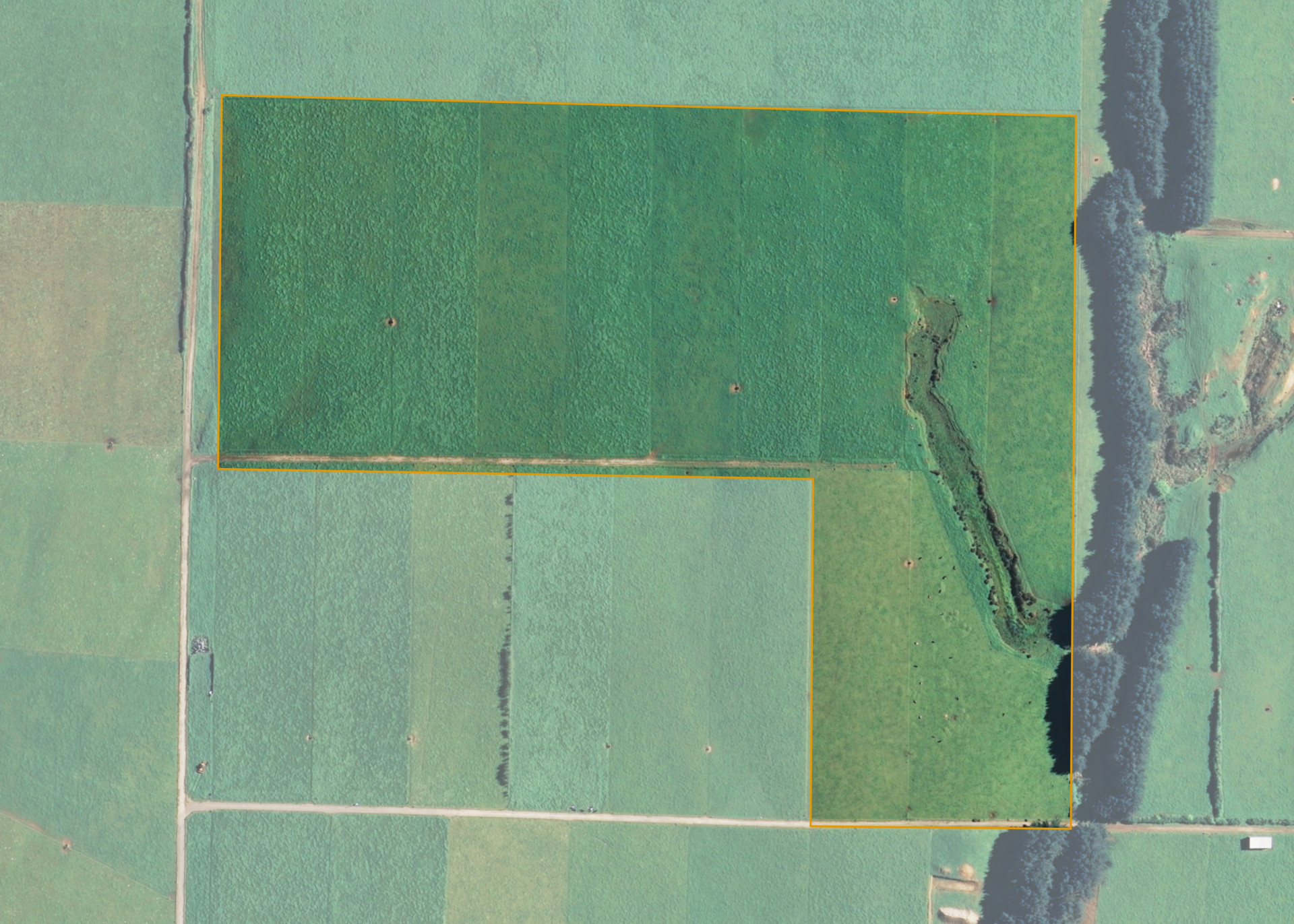
Omuturangi 5D2
Omuturangi 5D2 is a 13.4836 hectare property situated on Omuturangi Road, approximately 16 kilometres from Manaia. The land is flat to easy undulating in contour and has a low-sided shallow gully. The block can be accessed from a formed right of way off Omuturangi Road.
The block is entirely effective and is currently utilised for dairying.
Land Information
- Land area:
- 13.4836 hectares
- Location:
- Omuturangi Road (Northern extension), Manaia
- Region:
- Taranaki
- Māori Land Court region:
- Aotea
- Role of Māori Trustee for this whenua:
- Responsible Trustee
Learn more about the role of the Māori Trustee.
Owner Information
There are 31 people or whānau trusts who have shares in Omuturangi 5D2.
Find individual owners or whānau trusts for this whenua
Tip: Search by first name
If you have a question about this whenua or you want to update your details please contact us.
Find out about upcoming owner hui for this whenuaStay connected with My Whenua
My Whenua is our online service for owners, trustees, whānau and those with a connection to whenua we look after on their behalf.
It’s a way to stay up to date with information about your whenua, including:
- Maps and photos
- Owner reports
- A list of owners
- Minutes of owner hui, and more.