Awarua 3D3 13
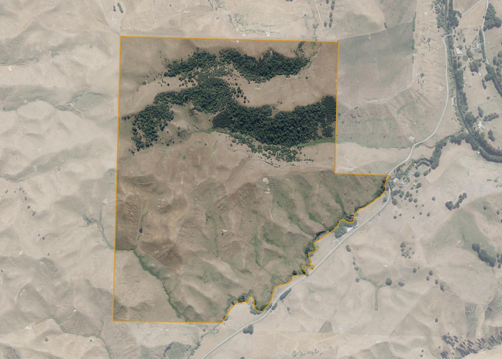
Awarua 3D3 13 is a 146.3750 hectare property situated on Waikakahi Road, approximately 12 kilometres from Taihape. The land is easy to medium steep hill in contour. The block can be accessed from Waikakahi Road.
The effective area, approximately 136.6448 hectares, is currently utilised for hill country sheep and cattle breeding and grazing. The balance of the land can be attributed to bush.
There is an old set of docking yards on the property.
Land Information
- Land area:
- 146.375 hectares
- Location:
- Waikakahi Road, Taihape
- Region:
- Manawatu / Whanganui
- Māori Land Court region:
- Aotea
- Role of Māori Trustee for this whenua:
- Responsible Trustee
Learn more about the role of the Māori Trustee.
Owner Information
There are 423 people or whānau trusts who have shares in Awarua 3D3 13.
Find individual owners or whānau trusts for this whenua
Tip: Search by first name
If you have a question about this whenua or you want to update your details please contact us.
Find out about upcoming owner hui for this whenuaStay connected with My Whenua
My Whenua is our online service for owners, trustees, whānau and those with a connection to whenua we look after on their behalf.
It’s a way to stay up to date with information about your whenua, including:
- Maps and photos
- Owner reports
- A list of owners
- Minutes of owner hui, and more.