Ngatarawa 2E4
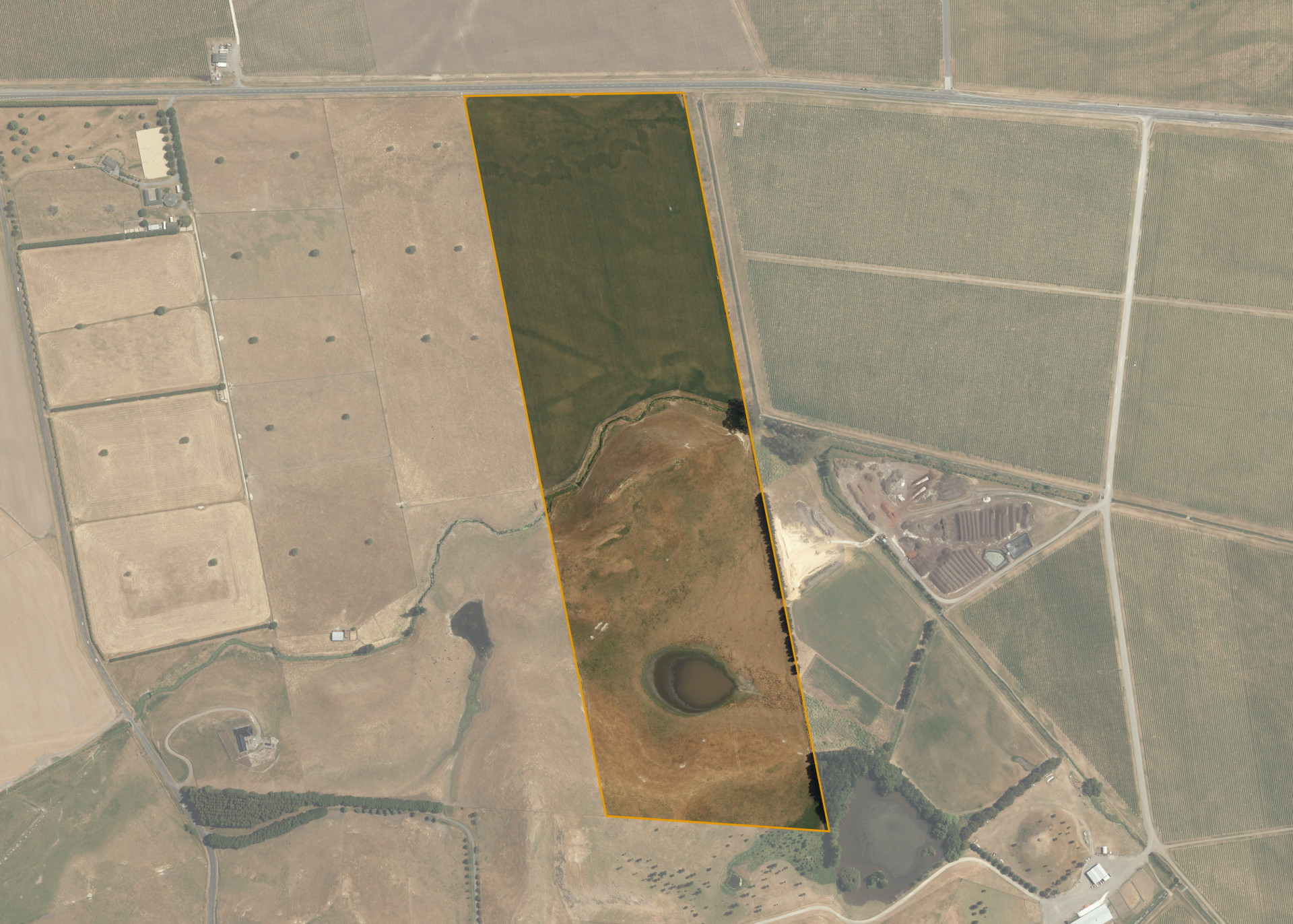
Ngatarawa 2E4 is a 26.4487 hectare property situated on State Highway 50, approximately 10 kilometres from Hastings. The land is flat to easy hill in contour and is dissected by a minor waterway. The block can be accessed from State Highway 50.
The effective area, approximately 26.0 hectares, is currently utilised for arable and sheep and beef finishing. The balance of the land can be attributed to the drain and lake.
Land Information
- Land area:
- 26.4487 hectares
- Location:
- State Highway 50, Ngatarawa
- Region:
- Hawkes Bay
- Māori Land Court region:
- Takitimu
- Role of Māori Trustee for this whenua:
- Responsible Trustee
Learn more about the role of the Māori Trustee.
Owner Information
There are 89 people or whānau trusts who have shares in Ngatarawa 2E4.
Find individual owners or whānau trusts for this whenua
Tip: Search by first name
If you have a question about this whenua or you want to update your details please contact us.
Find out about upcoming owner hui for this whenuaStay connected with My Whenua
My Whenua is our online service for owners, trustees, whānau and those with a connection to whenua we look after on their behalf.
It’s a way to stay up to date with information about your whenua, including:
- Maps and photos
- Owner reports
- A list of owners
- Minutes of owner hui, and more.