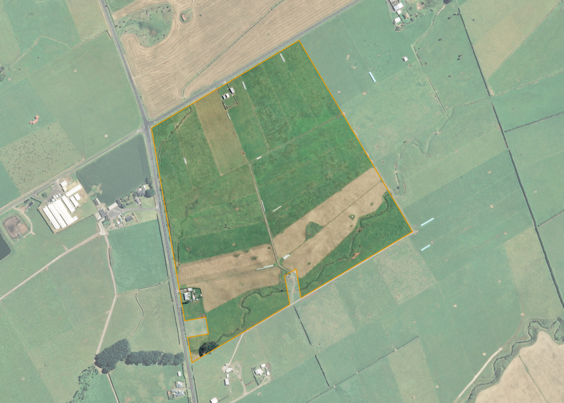
Ngatikahumate 1M2
Ngatikahumate 1M2 is a 26.3374 hectare property situated on the north side of State Highway 45, at the intersection with Arawhata Road, approximately 6 kilometres north-west of Opunake. The land is flat in contour and has an open aspect. The block can be accessed from Arawhata Road.
The effective area, approximately 24.8562 hectares, is currently utilised for dry stock farming. The balance of the land can be attributed to the watercourses and dwelling site.
There is a set if cattle yards and a hayshed on the property. The dwelling on the block is excluded from the lease.
There is an urupa located partially on the southern boundary of the property and on the neighbouring property.
Land Information
- Land area:
- 26.3374 hectares
- Location:
- South Road, Opunake
- Region:
- Taranaki
- Māori Land Court region:
- Aotea
- Role of Māori Trustee for this whenua:
- Responsible Trustee
Learn more about the role of the Māori Trustee.
Owner Information
There are 147 people or whānau trusts who have shares in Ngatikahumate 1M2.
Find individual owners or whānau trusts for this whenua
Tip: Search by first name
If you have a question about this whenua or you want to update your details please contact us.
Find out about upcoming owner hui for this whenuaStay connected with My Whenua
My Whenua is our online service for owners, trustees, whānau and those with a connection to whenua we look after on their behalf.
It’s a way to stay up to date with information about your whenua, including:
- Maps and photos
- Owner reports
- A list of owners
- Minutes of owner hui, and more.