Ahikouka B11B
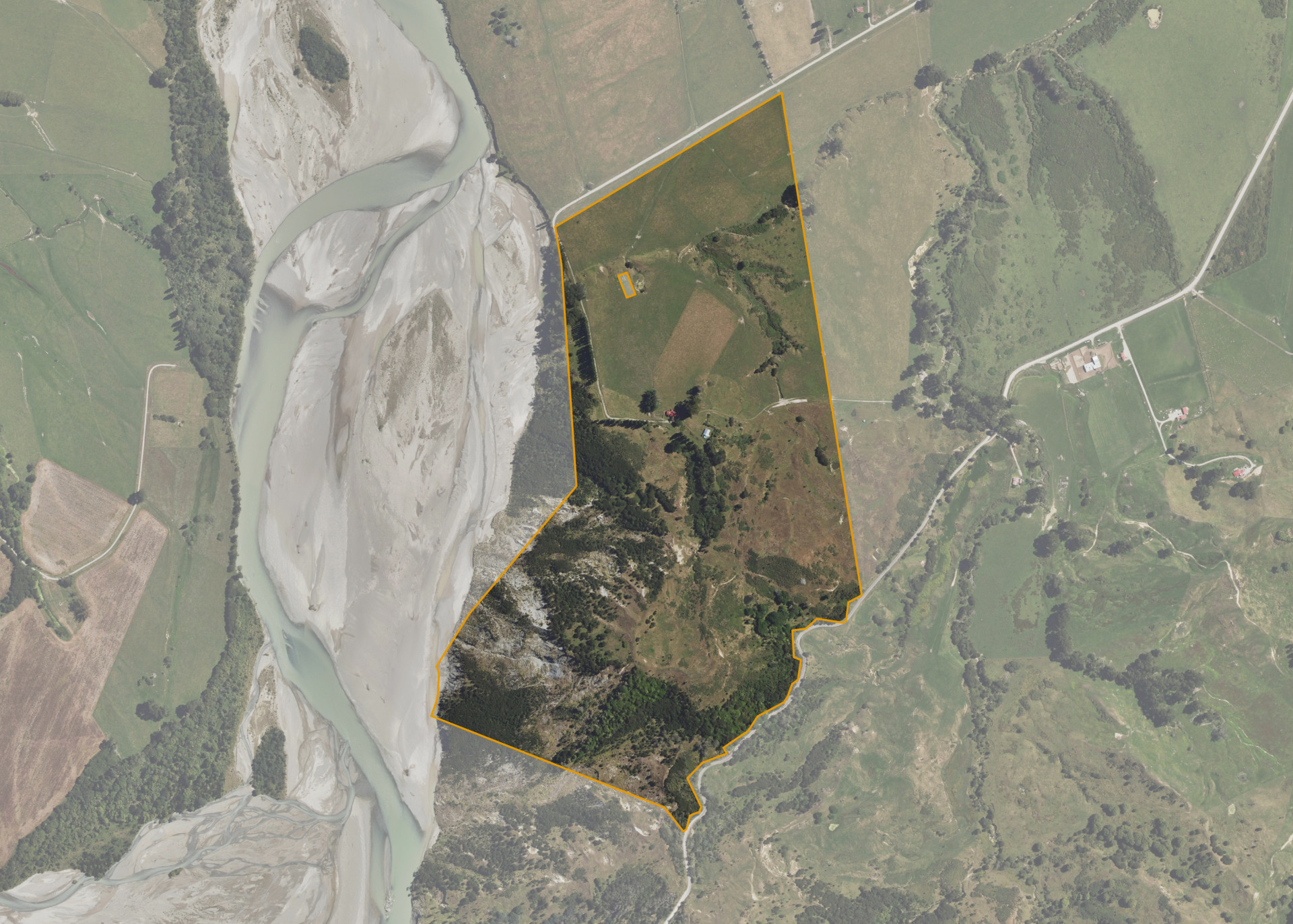
Ahikouka B11B is situated some 6 kilometres north-east of Ruatoria between Waiomatatini Road and Kakariki Road. This block is 78.1751 hectares of which 40.00 hectares is effective.
The property is accessed from Kakariki Road, is organised into seven paddocks, and comprises medium to steep contoured hill with two flat terraces.
An Urupa is located on the upper terrace in the north western corner and is fully fenced.
Land Information
- Land area:
- 78.1751 hectares
- Location:
- Waiomatatini, Ruatoria
- Region:
- Gisborne
- Māori Land Court region:
- Tairawhiti
- Role of Māori Trustee for this whenua:
- Responsible Trustee
Learn more about the role of the Māori Trustee.
Owner Information
There are 56 people or whānau trusts who have shares in Ahikouka B11B.
Find individual owners or whānau trusts for this whenua
Tip: Search by first name
If you have a question about this whenua or you want to update your details please contact us.
Find out about upcoming owner hui for this whenuaStay connected with My Whenua
My Whenua is our online service for owners, trustees, whānau and those with a connection to whenua we look after on their behalf.
It’s a way to stay up to date with information about your whenua, including:
- Maps and photos
- Owner reports
- A list of owners
- Minutes of owner hui, and more.