Tokomaru K4B1
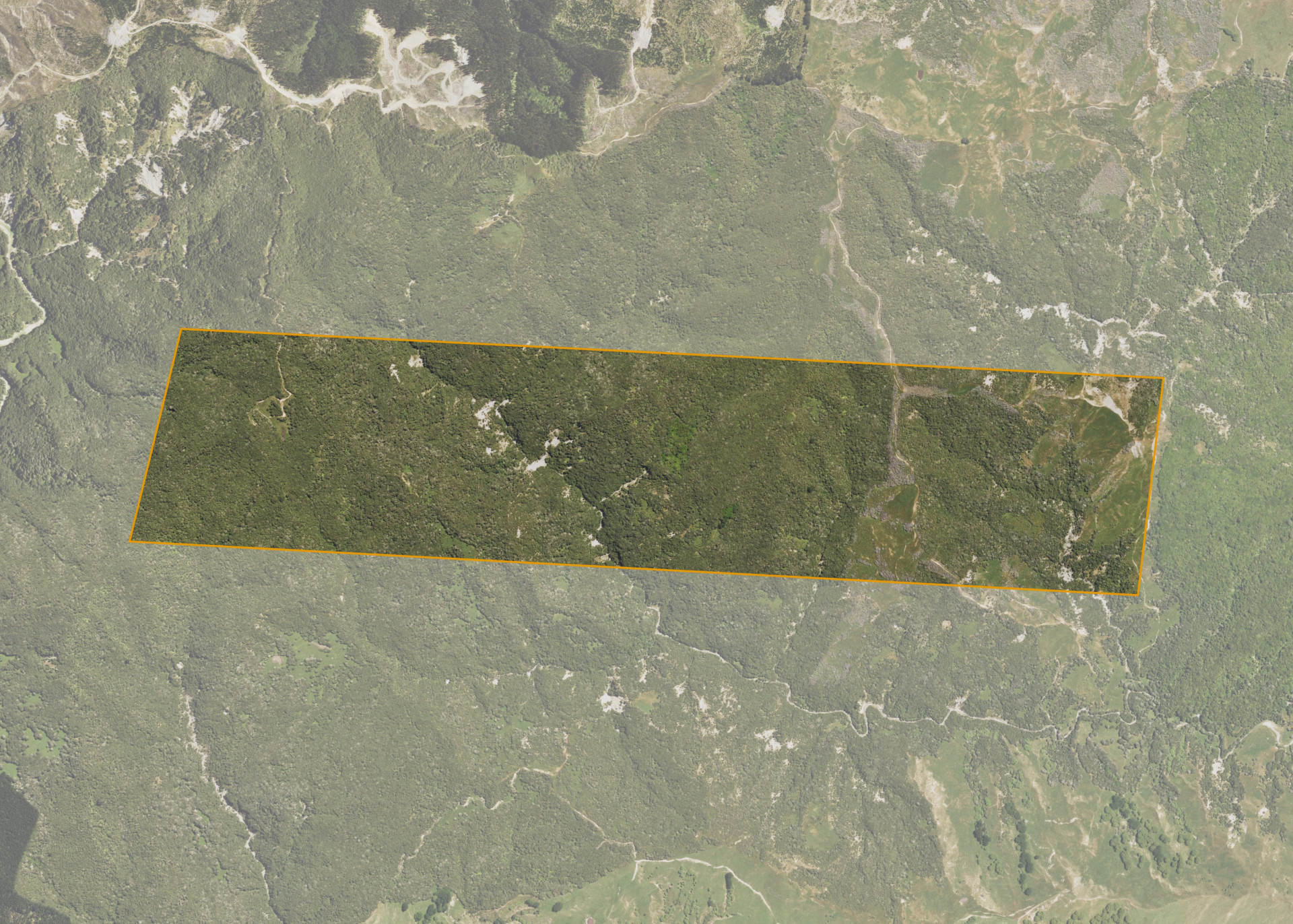
Tokomaru K4B1 is a 243.4184 hectare property situated north of Waiau Road, approximately 20 kilometres south-west of Tokomaru Bay. The land is predominantly medium to steep hill in contour. The block is landlocked and is currently accessed via adjoining land.
The block is currently utilised for grazing in conjunction with adjoining land.
Land Information
- Land area:
- 243.4184 hectares
- Location:
- Waiapu Rd/State Highway 35, Tokomaru Bay
- Region:
- Gisborne
- Māori Land Court region:
- Tairawhiti
- Role of Māori Trustee for this whenua:
- Responsible Trustee
Learn more about the role of the Māori Trustee.
Owner Information
There are 14 people or whānau trusts who have shares in Tokomaru K4B1.
Find individual owners or whānau trusts for this whenua
Tip: Search by first name
If you have a question about this whenua or you want to update your details please contact us.
Find out about upcoming owner hui for this whenuaStay connected with My Whenua
My Whenua is our online service for owners, trustees, whānau and those with a connection to whenua we look after on their behalf.
It’s a way to stay up to date with information about your whenua, including:
- Maps and photos
- Owner reports
- A list of owners
- Minutes of owner hui, and more.