Whangape 72A2
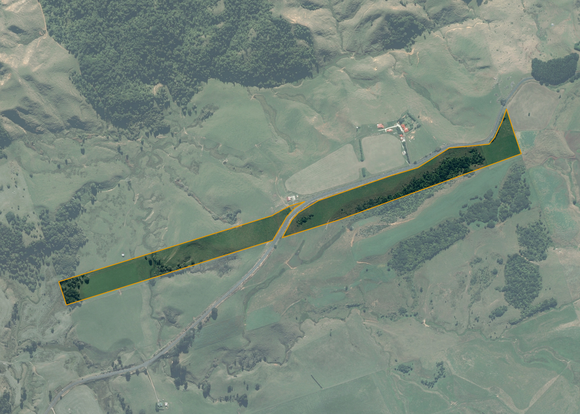
Whangape 72A2 is a 13.4961 hectare property situated on either side of Waikaretu Valley Road, approximately 43 kilometres from Tuakau. The land is long and narrow with approximately 2 hectares of flats at either end and the remaining mainly rolling hills which is steep in parts. The block has a predominately westerly aspect. Soils on the property comprise of volcanic ash. The block can be accessed from Waikaretu Valley Road.
The effective area, approximately 13 hectares, is currently utilised for grazing cattle. The balance of the land can be attributed to bush.
There are no buildings or yards on the property.
Land Information
- Land area:
- 13.4961 hectares
- Location:
- 1032 Waikaretu Valley Road, Tuakau
- Region:
- Waikato
- Māori Land Court region:
- Waikato Maniapoto
- Role of Māori Trustee for this whenua:
- Responsible Trustee
Learn more about the role of the Māori Trustee.
Owner Information
There are 56 people or whānau trusts who have shares in Whangape 72A2.
Find individual owners or whānau trusts for this whenua
Tip: Search by first name
If you have a question about this whenua or you want to update your details please contact us.
Find out about upcoming owner hui for this whenuaStay connected with My Whenua
My Whenua is our online service for owners, trustees, whānau and those with a connection to whenua we look after on their behalf.
It’s a way to stay up to date with information about your whenua, including:
- Maps and photos
- Owner reports
- A list of owners
- Minutes of owner hui, and more.