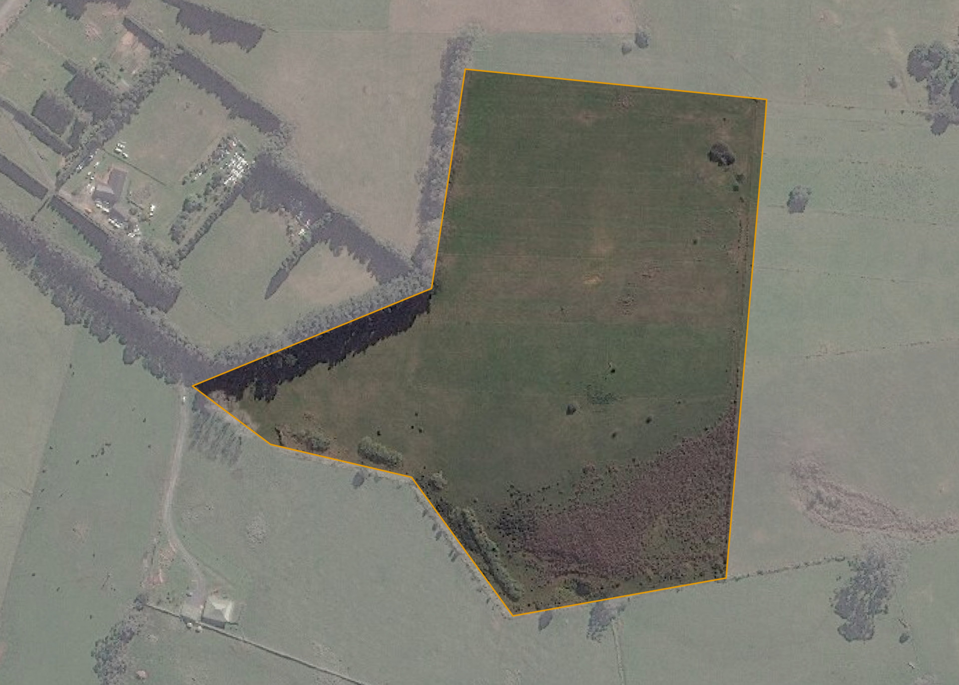
Pirikotaha 9B2A
Pirikotaha 9B2A is an 8.8246 hectare property situated on State Highway 1 near Kaikohe and is accessed from State Highway 1, there is a legal right of way over the northern boundary of Pirikotaha 9B 2B.
The block is predominantly easy contour with some moderate rolling contour sections and a volcanic soil type.
The property is currently unutilised.
Land Information
- Land area:
- 8.8246 hectares
- Location:
- State Highway 1, Kaikohe
- Region:
- Northland
- Māori Land Court region:
- Taitokerau
- Role of Māori Trustee for this whenua:
- Responsible Trustee
Learn more about the role of the Māori Trustee.
Owner Information
There are 66 people or whānau trusts who have shares in Pirikotaha 9B2A.
Find individual owners or whānau trusts for this whenua
Tip: Search by first name
If you have a question about this whenua or you want to update your details please contact us.
Find out about upcoming owner hui for this whenuaStay connected with My Whenua
My Whenua is our online service for owners, trustees, whānau and those with a connection to whenua we look after on their behalf.
It’s a way to stay up to date with information about your whenua, including:
- Maps and photos
- Owner reports
- A list of owners
- Minutes of owner hui, and more.