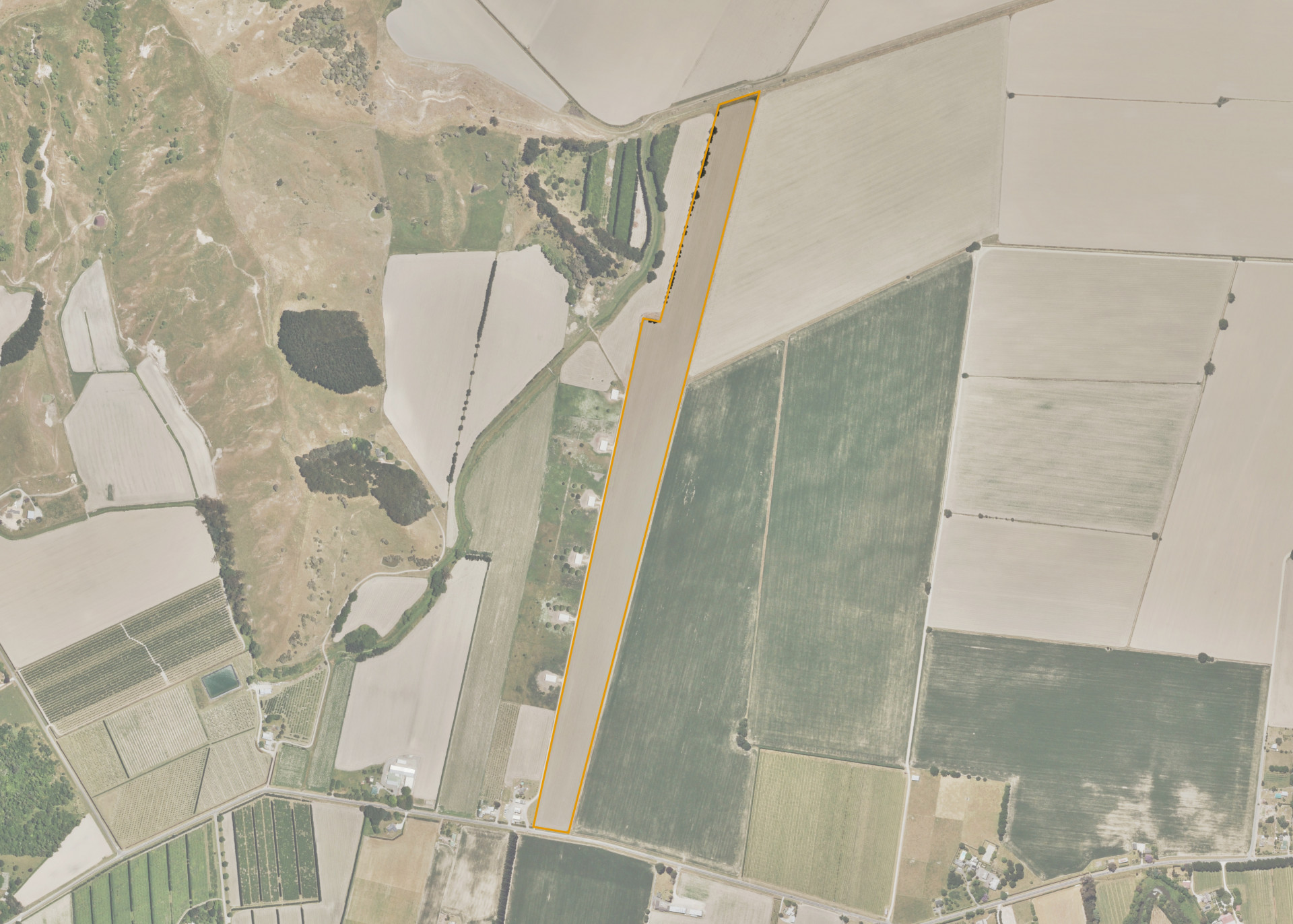
Whatatuna 11
Whatatuna 11 is a 11.94 hectare block, situated on the northern side of Papatu Road, Manutuke, some 16km west of Gisborne.
The property comprises of Makauri and Kaiti soils which are suited to arable cropping purposes. Whatatuna 11 is 100% effective and the land is currently utilised for arable cropping in summer and grazing in winter.
The property appears adequately drained and a stop bank and the Whatatuna Stream is situated on the northern boundary.
Land Information
- Land area:
- 11.94 hectares
- Location:
- Papatu Road, Manutuke
- Region:
- Gisborne
- Māori Land Court region:
- Tairawhiti
- Role of Māori Trustee for this whenua:
- Responsible Trustee
Learn more about the role of the Māori Trustee.
Owner Information
There are 81 people or whānau trusts who have shares in Whatatuna 11.
Find individual owners or whānau trusts for this whenua
Tip: Search by first name
If you have a question about this whenua or you want to update your details please contact us.
Find out about upcoming owner hui for this whenuaStay connected with My Whenua
My Whenua is our online service for owners, trustees, whānau and those with a connection to whenua we look after on their behalf.
It’s a way to stay up to date with information about your whenua, including:
- Maps and photos
- Owner reports
- A list of owners
- Minutes of owner hui, and more.