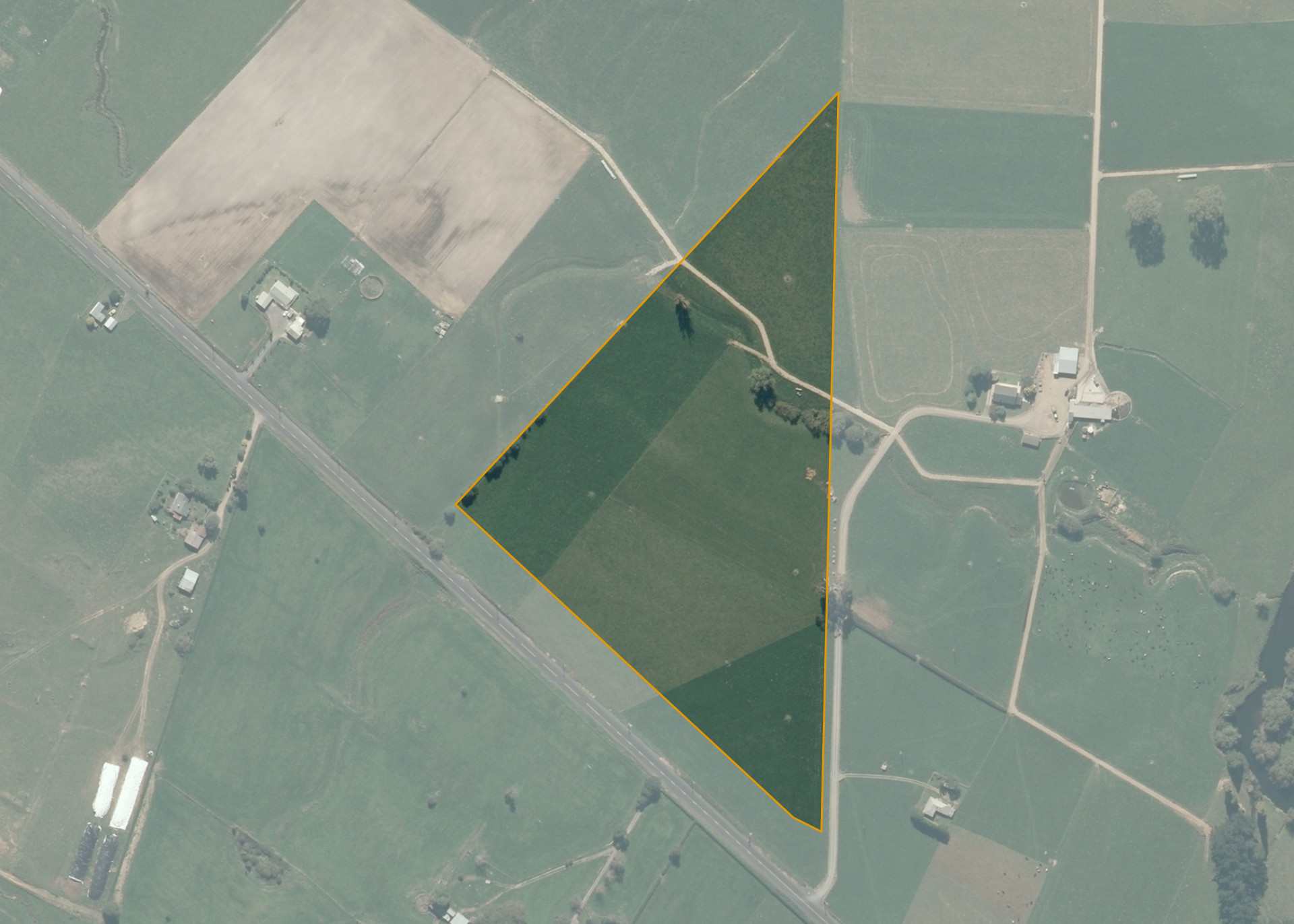
Tokanui 1D2A2A
Tokanui 1D2A2A is a 7.65 hectare property situated on Waikeria Road, approximately 6 kilometres north-west of Kihikihi. The land is flat to gently undulating in contour and has a north facing aspect. The block can be accessed from the road or via the lessee's adjoining property.
The effective area, approximately 7.5 hectares, is currently utilised for dairy farming. The balance of the land can be attributed to the stream and its margins.
Two generations ago Tokanui 1D2A2A had a whanau homestead and urupa within its boundaries as well as well-established and tended mara kai for the whanau.
Land Information
- Land area:
- 7.6522 hectares
- Location:
- Waikeria Road, Te Awamutu
- Region:
- Waikato
- Māori Land Court region:
- Waikato Maniapoto
- Role of Māori Trustee for this whenua:
- Responsible Trustee
Learn more about the role of the Māori Trustee.
Owner Information
There are 102 people or whānau trusts who have shares in Tokanui 1D2A2A.
Find individual owners or whānau trusts for this whenua
Tip: Search by first name
If you have a question about this whenua or you want to update your details please contact us.
Find out about upcoming owner hui for this whenuaStay connected with My Whenua
My Whenua is our online service for owners, trustees, whānau and those with a connection to whenua we look after on their behalf.
It’s a way to stay up to date with information about your whenua, including:
- Maps and photos
- Owner reports
- A list of owners
- Minutes of owner hui, and more.