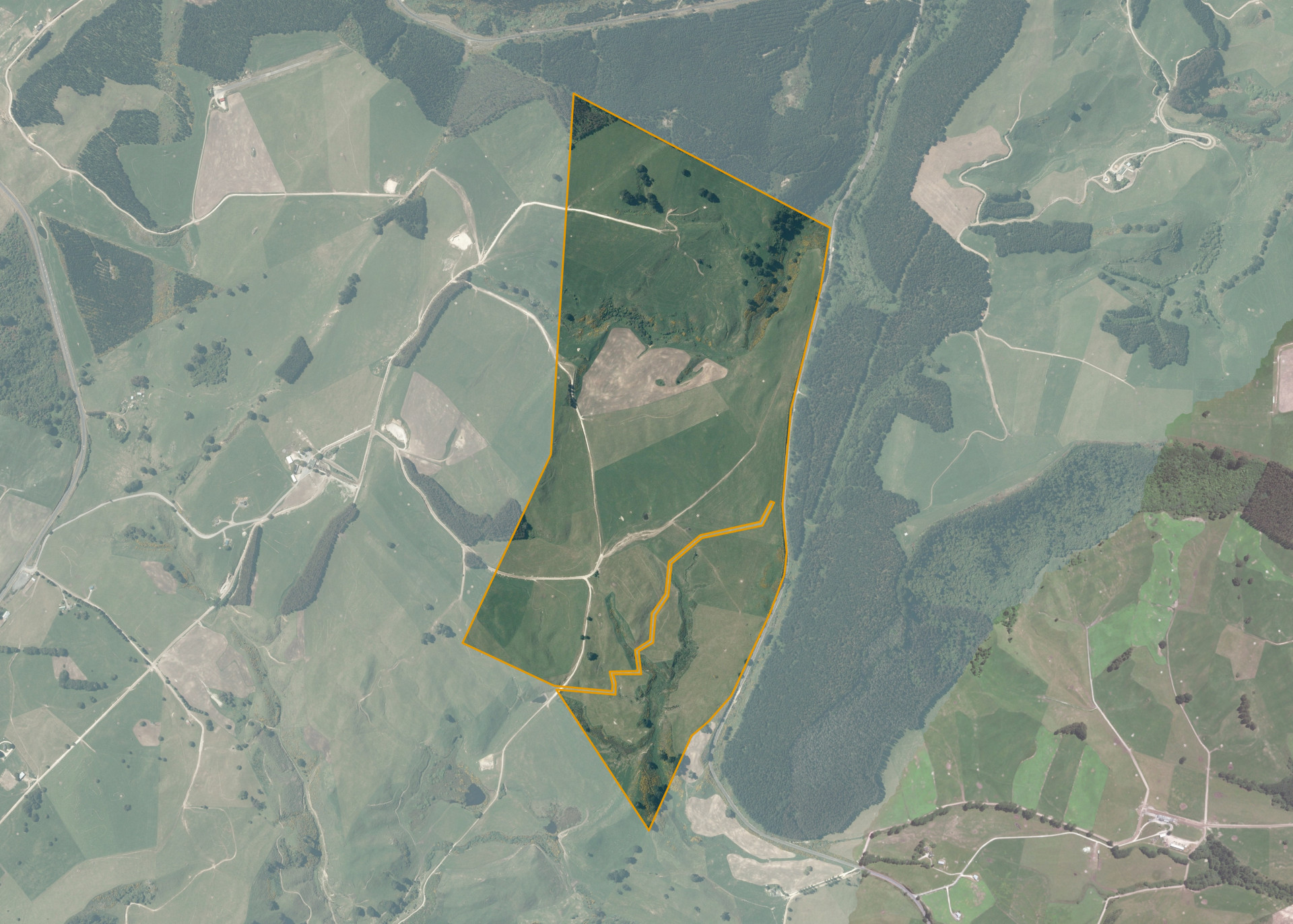
Tatua East 27
Tatua East 27 is a 154.46 hectare property located on State Highway 1, 15 kilometres from Taupo.
The block is mostly easy rolling in contour.
Tatua East 27 is used for pastoral grazing of dairy.
Land Information
- Land area:
- 153.7 hectares
- Location:
- State Highway One, Taupo
- Region:
- Bay of Plenty
- Māori Land Court region:
- Waiariki
- Role of Māori Trustee for this whenua:
- Agent
Learn more about the role of the Māori Trustee.
Owner Information
There are 462 people or whānau trusts who have shares in Tatua East 27.
Find individual owners or whānau trusts for this whenua
Tip: Search by first name
If you have a question about this whenua or you want to update your details please contact us.
Find out about upcoming owner hui for this whenuaStay connected with My Whenua
My Whenua is our online service for owners, trustees, whānau and those with a connection to whenua we look after on their behalf.
It’s a way to stay up to date with information about your whenua, including:
- Maps and photos
- Owner reports
- A list of owners
- Minutes of owner hui, and more.