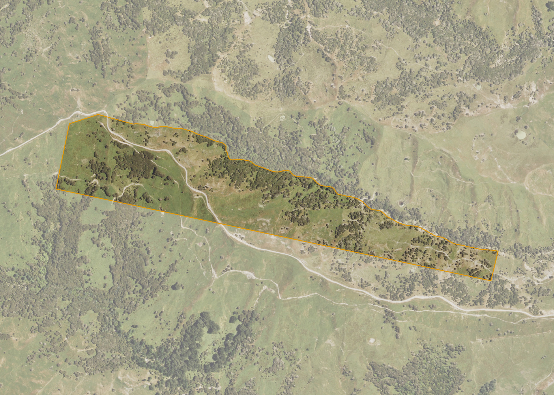
Puhatikotiko 5B2B3
Puhatikotiko 5B2B3 is a 50.18 hectare property situated east of Whatatutu Road, approximately 40 kilometres north-west of Gisborne. The land is predominantly medium to steep hill in contour and adjoins the Omanuporoaki Stream. The block is landlocked but can be accessed via the lessee's adjoining land.
The effective area, approximately 45.0 hectares, is currently utilised for sheep and beef farming. The balance of the land can be attributed to scrub.
Land Information
- Land area:
- 50.181 hectares
- Location:
- Whatatutu Road, Whatatutu
- Region:
- Gisborne
- Māori Land Court region:
- Tairawhiti
- Role of Māori Trustee for this whenua:
- Responsible Trustee
Learn more about the role of the Māori Trustee.
Owner Information
There are 82 people or whānau trusts who have shares in Puhatikotiko 5B2B3.
Find individual owners or whānau trusts for this whenua
Tip: Search by first name
If you have a question about this whenua or you want to update your details please contact us.
Find out about upcoming owner hui for this whenuaStay connected with My Whenua
My Whenua is our online service for owners, trustees, whānau and those with a connection to whenua we look after on their behalf.
It’s a way to stay up to date with information about your whenua, including:
- Maps and photos
- Owner reports
- A list of owners
- Minutes of owner hui, and more.