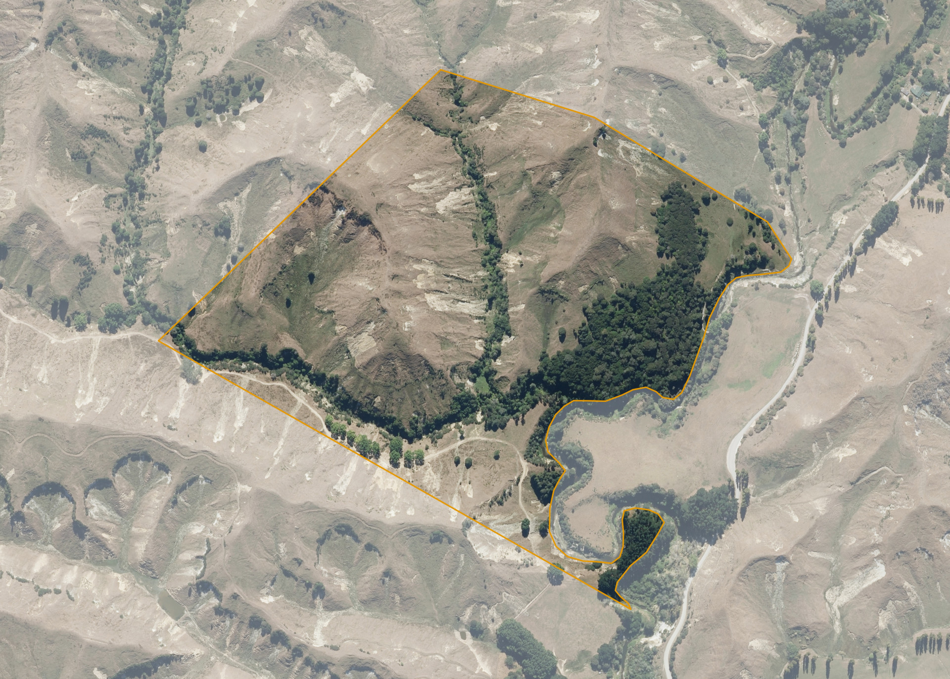
Kaitangata 12E
Kaitangata 12E is a 40.0891 hectare property situated in the Parihauhau Valley, approximately 18 kilometres north-east of Whanganui. The land is steep and very steep in contour. The block is landlocked.
The block is currently leased together with Kaitangata 12D. The properties form a 151.557 hectare block, of which, 142.1 hectares is utilised for sheep breeding and grazing. The balance of the land can be attributed to gully systems, overhang land and a small area of pine trees.
Land Information
- Land area:
- 40.0891 hectares
- Location:
- Parihauhau Road, Parapara Highway
- Region:
- Manawatu / Whanganui
- Māori Land Court region:
- Aotea
- Role of Māori Trustee for this whenua:
- Responsible Trustee
Learn more about the role of the Māori Trustee.
Owner Information
There are 106 people or whānau trusts who have shares in Kaitangata 12E.
Find individual owners or whānau trusts for this whenua
Tip: Search by first name
If you have a question about this whenua or you want to update your details please contact us.
Find out about upcoming owner hui for this whenuaStay connected with My Whenua
My Whenua is our online service for owners, trustees, whānau and those with a connection to whenua we look after on their behalf.
It’s a way to stay up to date with information about your whenua, including:
- Maps and photos
- Owner reports
- A list of owners
- Minutes of owner hui, and more.