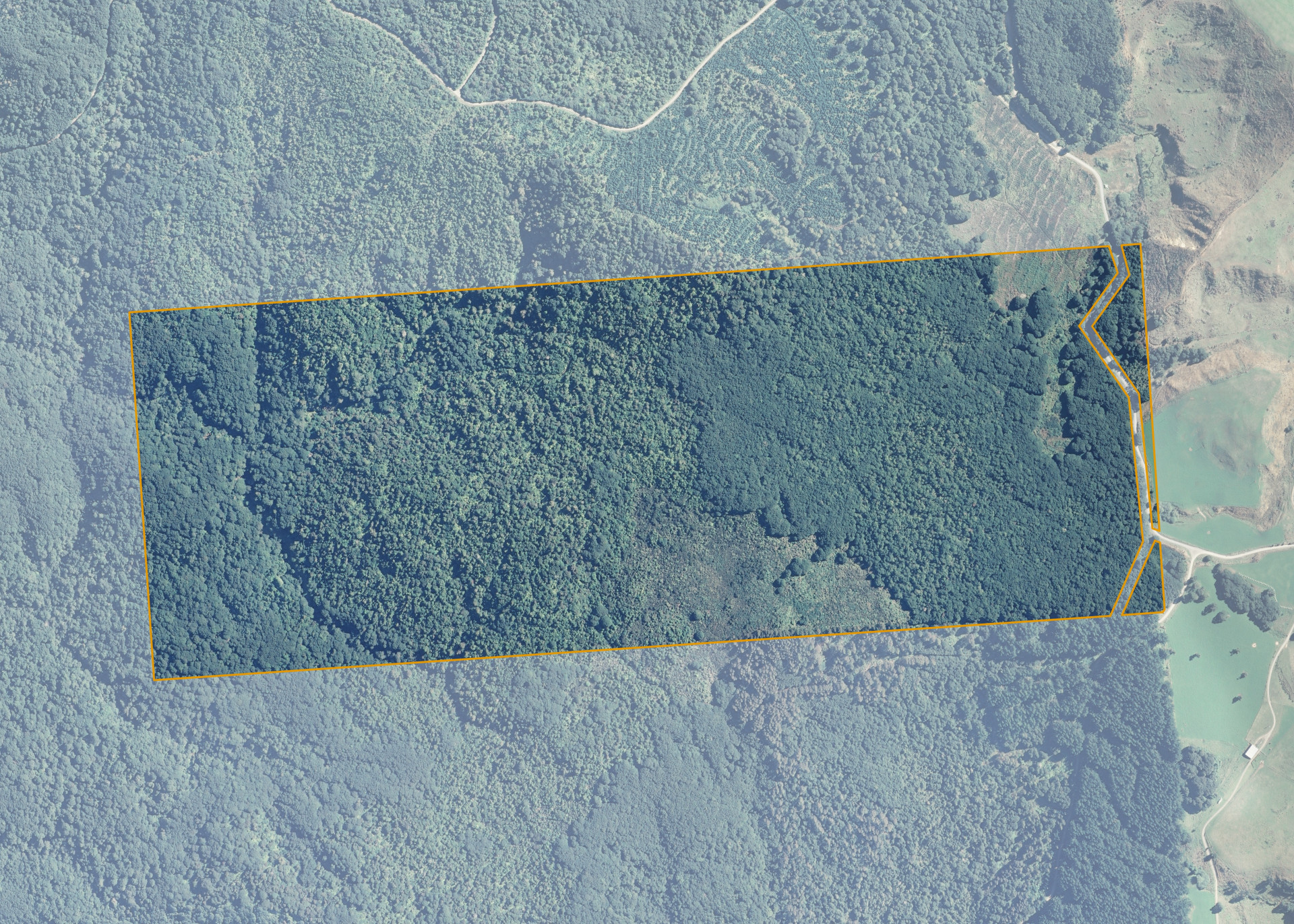
Alton Block V Section 10
Alton Block V Section 10 is a 134.4315 hectare property situated on both sides of Grove Burn Road, approximately 11 kilometres from Tuatapere, Western Southland. The land is predominantly medium to steep hill in contour.
The land is covered in regenerating native forest.
Land Information
- Land area:
- 134.4315 hectares
- Location:
- Tuatapere, Western Southland
- Region:
- Southland
- Māori Land Court region:
- Te Waipounamu
- Role of Māori Trustee for this whenua:
- Responsible Trustee
Learn more about the role of the Māori Trustee.
Owner Information
There are 46 people or whānau trusts who have shares in Alton Block V Section 10.
Find individual owners or whānau trusts for this whenua
Tip: Search by first name
If you have a question about this whenua or you want to update your details please contact us.
Find out about upcoming owner hui for this whenuaStay connected with My Whenua
My Whenua is our online service for owners, trustees, whānau and those with a connection to whenua we look after on their behalf.
It’s a way to stay up to date with information about your whenua, including:
- Maps and photos
- Owner reports
- A list of owners
- Minutes of owner hui, and more.