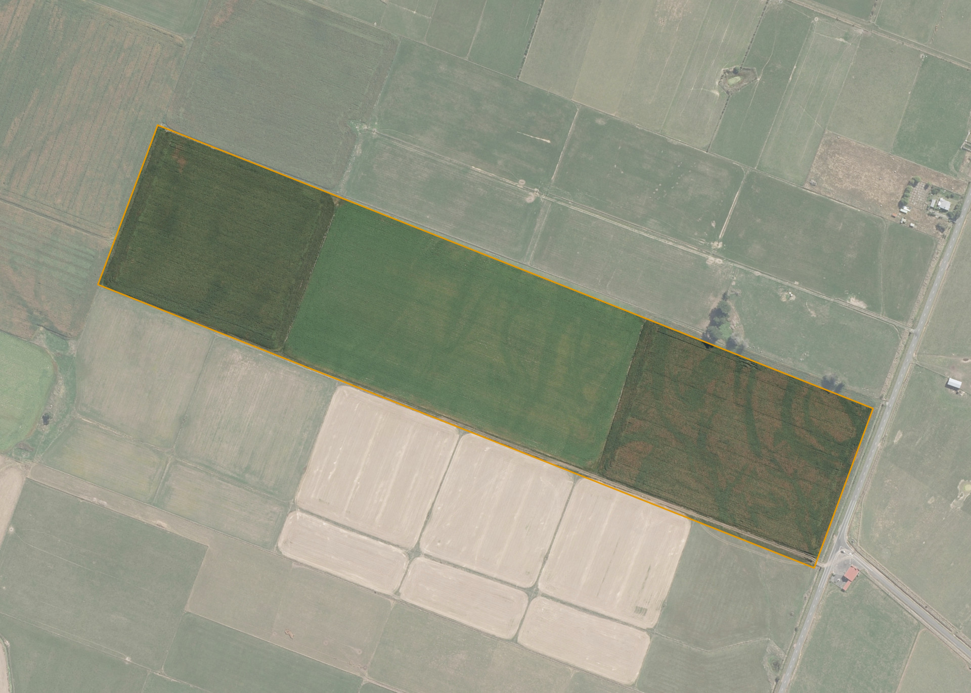
Rangitikei Manawatu C3B
Rangitikei Manawatu C3B is a block of 20.16 hectare property situated on the western side of Tangimoana Road, Ohakea, some 5km east of Sansonat and access is gained via Tangimoana Road.
The block is predominately flat land that is subdivided into three paddocks.
Land Information
- Land area:
- 20.2342 hectares
- Location:
- Tangimoana Road, Sanson
- Region:
- Manawatu / Whanganui
- Māori Land Court region:
- Aotea
- Role of Māori Trustee for this whenua:
- Agent
Learn more about the role of the Māori Trustee.
Owner Information
There are 43 people or whānau trusts who have shares in Rangitikei Manawatu C3B.
Find individual owners or whānau trusts for this whenua
Tip: Search by first name
If you have a question about this whenua or you want to update your details please contact us.
Find out about upcoming owner hui for this whenuaStay connected with My Whenua
My Whenua is our online service for owners, trustees, whānau and those with a connection to whenua we look after on their behalf.
It’s a way to stay up to date with information about your whenua, including:
- Maps and photos
- Owner reports
- A list of owners
- Minutes of owner hui, and more.